Transport Functions
Rail
Road
Hub Profile
Place type
District seat
Region
Lower Austria
Population
4,292
Time zone
Europe/Vienna
Elevation
282 m
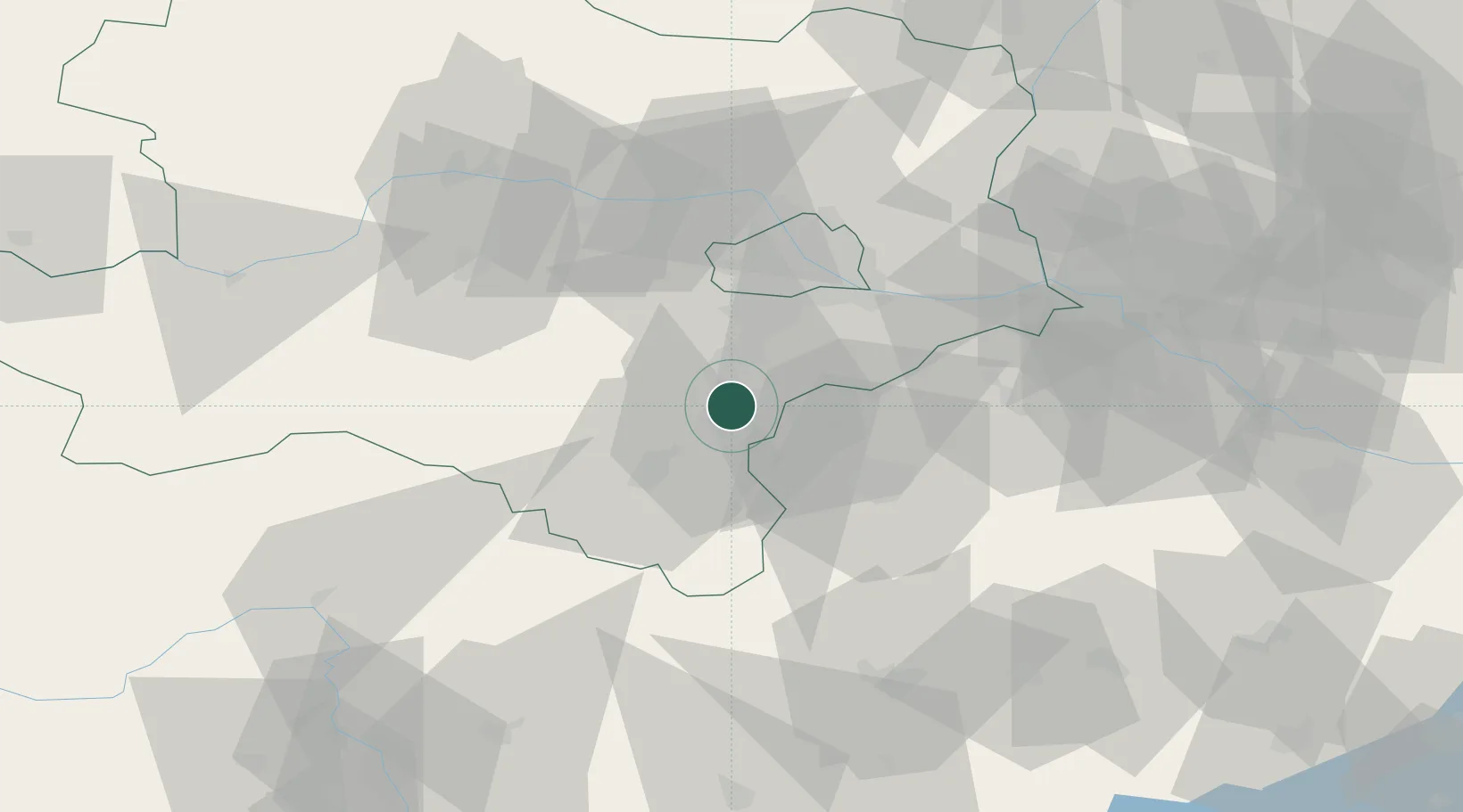
Location
Nearby Logistics Neighbours
Cities
- 1Kottingbrunn6 km
- 2Enzesfeld6 km
- 3Wöllersdorf-Steinabrückl7 km
- 4Teesdorf8 km
- 5Tattendorf8 km
Ports
- 1Monfalcone311 km
- 2Trieste313 km
- 3Rijeka Luka316 km
- 4Bakar316 km
- 5Muggia317 km
Airports
Trade Zones
- 1Veselí nad Moravou Industrial Zone145 km
- 2Černovická Terasa Industrial Zone147 km
- 3Sjever Free Zone177 km
- 4Holešov Industrial Zone187 km
- 5Krapina-Zagorje Free Zone195 km
DatabookThe Record of Consolidated Knowledge
Austria beyond logistics?