Transport Functions
Rail
Road
Hub Profile
Place type
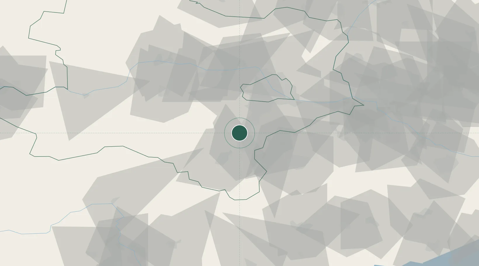
Populated place
Region
Lower Austria
Time zone
Europe/Vienna
Elevation
282 m
Location
Nearby Logistics Neighbours
Cities
- 1Kottingbrunn3 km
- 2Felixdorf6 km
- 3Wöllersdorf-Steinabrückl8 km
- 4Teesdorf8 km
- 5Bad Fischau9 km
Ports
- 1Monfalcone310 km
- 2Trieste313 km
- 3Muggia317 km
- 4Rijeka Luka317 km
- 5Bakar317 km
Airports
Trade Zones
- 1Černovická Terasa Industrial Zone144 km
- 2Veselí nad Moravou Industrial Zone145 km
- 3Sjever Free Zone181 km
- 4Holešov Industrial Zone186 km
- 5Krapina-Zagorje Free Zone198 km
DatabookThe Record of Consolidated Knowledge
Austria beyond logistics?