Transport Functions
Rail
Road
Multimodal
Hub Profile
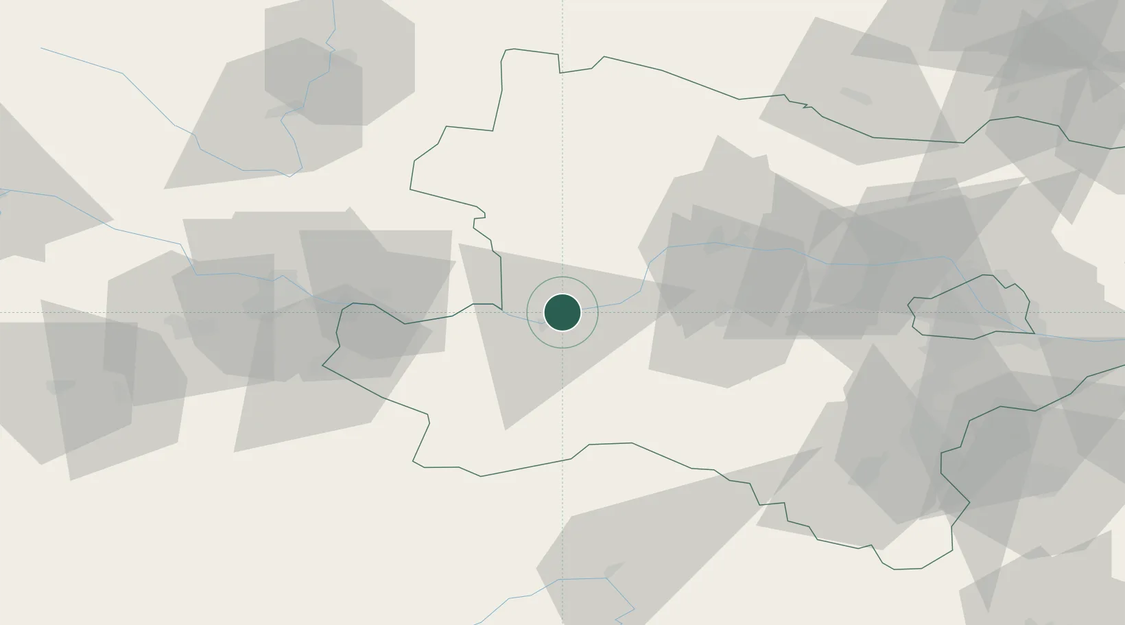
Place type
Populated place
Region
Lower Austria
Population
206
Time zone
Europe/Vienna
Elevation
256 m
Location
Nearby Logistics Neighbours
Cities
- 1Marbach an der Donau0 km
- 2Krummnussbaum1 km
- 3Kleinpöchlarn5 km
- 4Münichreith6 km
- 5Persenbeug7 km
Ports
- 1Monfalcone297 km
- 2Trieste305 km
- 3Muggia309 km
- 4Nogaro312 km
- 5Grado313 km
Airports
Trade Zones
DatabookThe Record of Consolidated Knowledge
Austria beyond logistics?