Transport Functions
Multimodal
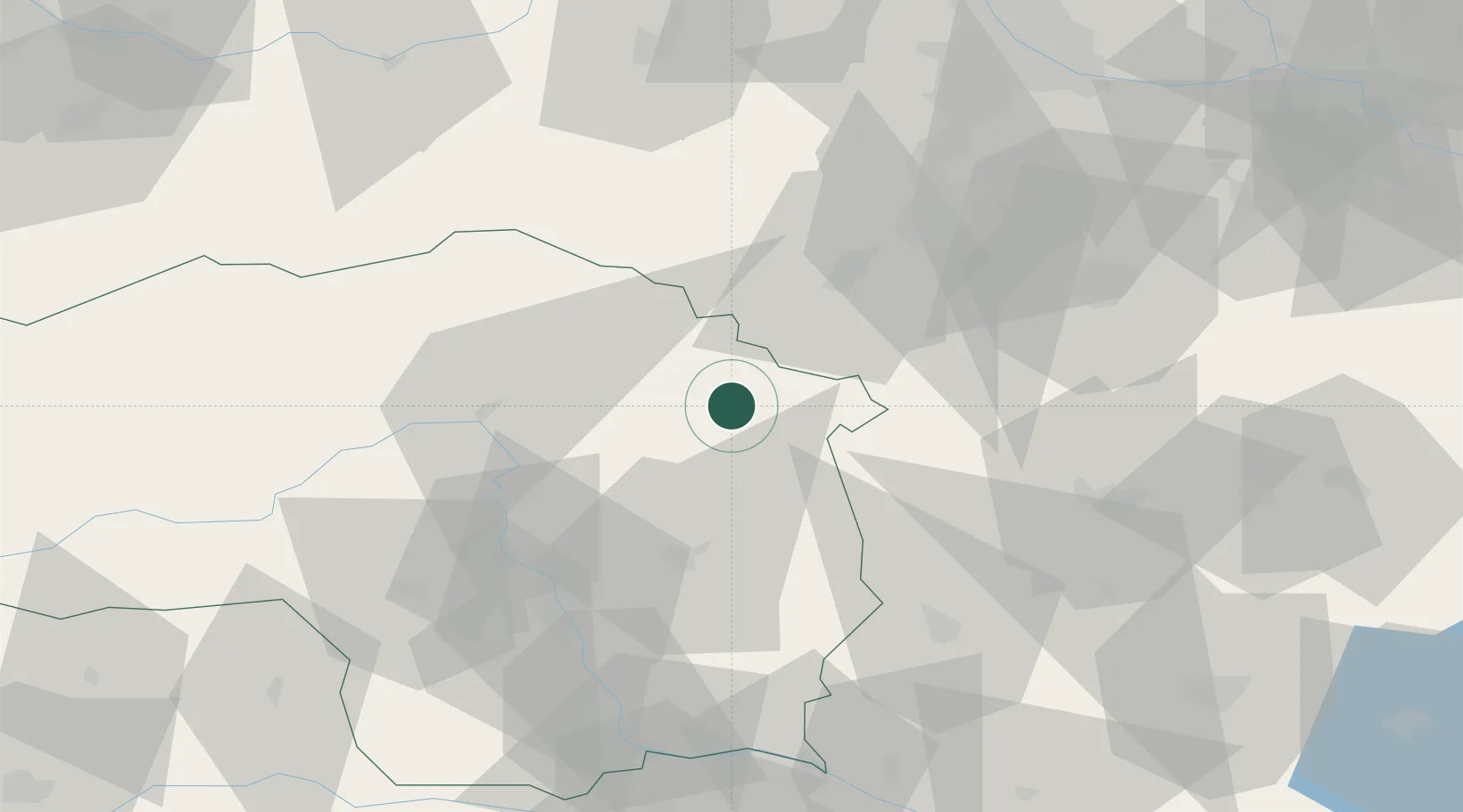
Hub Profile
Region
6
Location
Nearby Logistics Neighbours
Cities
- 1Birkfeld15 km
- 2Koglhof18 km
- 3Langenwang20 km
- 4Mürzzuschlag20 km
- 5Hönigsberg22 km
Ports
- 1Monfalcone254 km
- 2Trieste255 km
- 3Rijeka Luka258 km
- 4Bakar259 km
- 5Muggia259 km
Airports
- 1Wiener Neustadt West Airport53 km
- 2Wiener Neustadt East Airport55 km
- 3Graz Airport58 km
- 4Hinterstoisser Air Base85 km
- 5Vienna International Airport93 km
Trade Zones
- 1Sjever Free Zone135 km
- 2Krapina-Zagorje Free Zone145 km
- 3PJ Free Zone Zagreb184 km
- 4Černovická Terasa Industrial Zone202 km
- 5Veselí nad Moravou Industrial Zone204 km
DatabookThe Record of Consolidated Knowledge
Austria beyond logistics?