Transport Functions
Multimodal
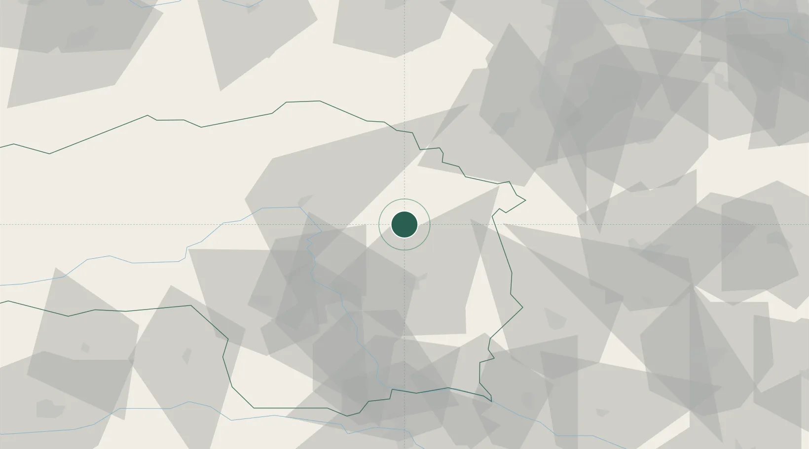
Hub Profile
Place type
District seat
Region
Styria
Population
1,634
Time zone
Europe/Vienna
Elevation
676 m
Location
Nearby Logistics Neighbours
Cities
- 1Koglhof4 km
- 2Waldbach15 km
- 3Breitenau am Hochlantsch17 km
- 4Preding19 km
- 5Sankt Ruprecht an der Raab22 km
Ports
- 1Monfalcone239 km
- 2Trieste240 km
- 3Muggia244 km
- 4Rijeka Luka244 km
- 5Bakar244 km
Airports
- 1Graz Airport44 km
- 2Wiener Neustadt West Airport68 km
- 3Wiener Neustadt East Airport70 km
- 4Hinterstoisser Air Base73 km
- 5Maribor Edvard Rusjan Airport97 km
Trade Zones
- 1Sjever Free Zone128 km
- 2Krapina-Zagorje Free Zone134 km
- 3PJ Free Zone Zagreb173 km
- 4Černovická Terasa Industrial Zone216 km
- 5Veselí nad Moravou Industrial Zone218 km
DatabookThe Record of Consolidated Knowledge
Austria beyond logistics?