Transport Functions
Multimodal
Hub Profile
Region
4
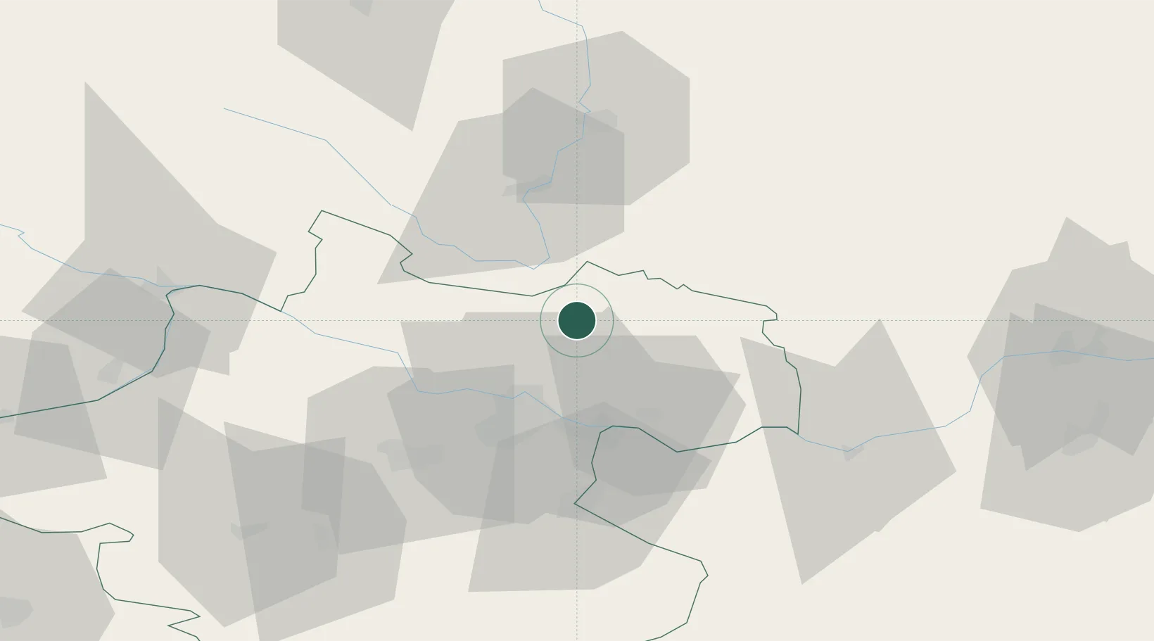
Location
Nearby Logistics Neighbours
Cities
- 1Rainbach im Mühlkreis6 km
- 2Lasberg8 km
- 3Neumarkt im Mühlkreis10 km
- 4Horní Dvoriste11 km
- 5Gallneukirchen17 km
Ports
- 1Monfalcone309 km
- 2Nogaro320 km
- 3Trieste321 km
- 4Grado323 km
- 5Muggia326 km
Airports
- 1Linz-Hörsching Airport35 km
- 2České Budějovice South Bohemian Airport50 km
- 3Salzburg Airport132 km
- 4Náměšť Air Base144 km
- 5Hinterstoisser Air Base146 km
Trade Zones
DatabookThe Record of Consolidated Knowledge
Austria beyond logistics?