Transport Functions
Multimodal
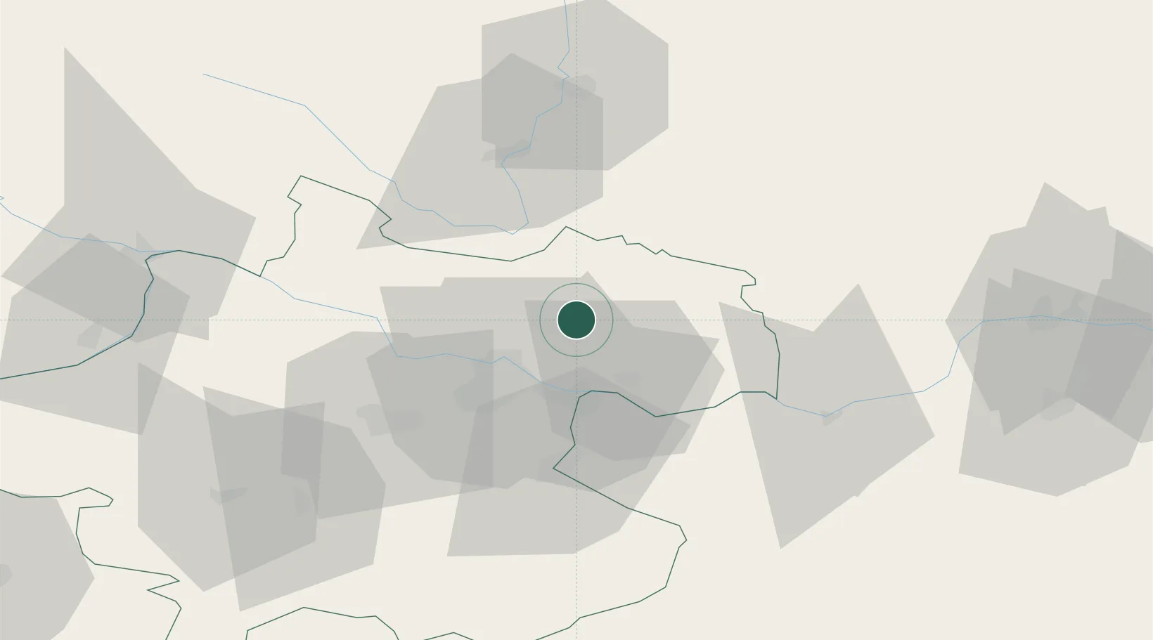
Hub Profile
Region
4
Location
Nearby Logistics Neighbours
Cities
- 1Lasberg7 km
- 2Engerwitzdorf8 km
- 3Pregarten8 km
- 4Gallneukirchen9 km
- 5Waldburg bei Freistadt10 km
Ports
- 1Monfalcone301 km
- 2Nogaro312 km
- 3Trieste313 km
- 4Grado316 km
- 5Muggia318 km
Airports
- 1Linz-Hörsching Airport30 km
- 2České Budějovice South Bohemian Airport59 km
- 3Salzburg Airport130 km
- 4Hinterstoisser Air Base136 km
- 5Wiener Neustadt West Airport144 km
Trade Zones
DatabookThe Record of Consolidated Knowledge
Austria beyond logistics?