Transport Functions
Multimodal
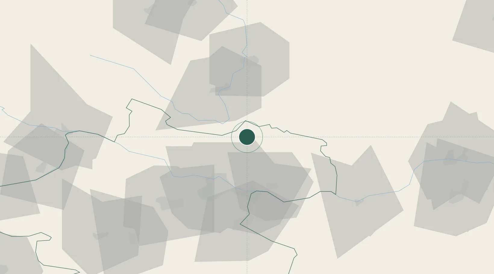
Location
Nearby Logistics Neighbours
Cities
- 1Waldburg bei Freistadt6 km
- 2Horní Dvoriste7 km
- 3Lasberg11 km
- 4Neumarkt im Mühlkreis15 km
- 5Loucovice20 km
Ports
- 1Monfalcone315 km
- 2Nogaro326 km
- 3Trieste327 km
- 4Grado329 km
- 5Muggia332 km
Airports
- 1Linz-Hörsching Airport41 km
- 2České Budějovice South Bohemian Airport44 km
- 3Salzburg Airport137 km
- 4Náměšť Air Base139 km
- 5Hinterstoisser Air Base151 km
Trade Zones
DatabookThe Record of Consolidated Knowledge
Austria beyond logistics?