Transport Functions
Rail
Road
Hub Profile
Place type
District seat
Region
Upper Austria
Population
1,255
Time zone
Europe/Vienna
Elevation
393 m
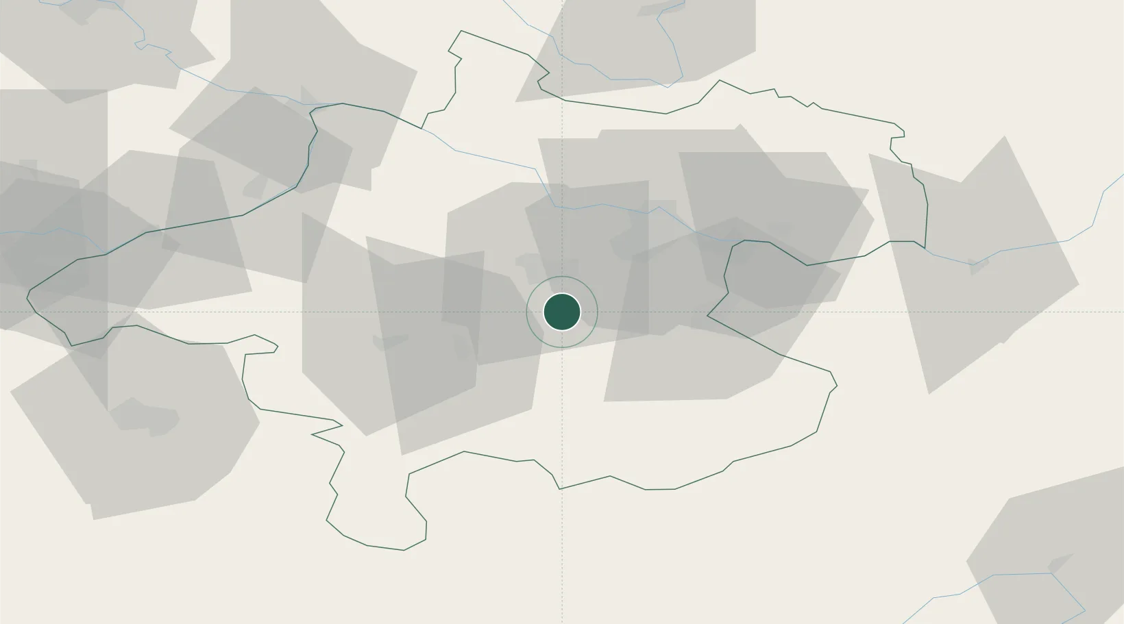
Location
Nearby Logistics Neighbours
Cities
- 1Regau5 km
- 2Steinhaus7 km
- 3Eberstalzell8 km
- 4Thalheim bei Wels10 km
- 5Wels11 km
Ports
- 1Monfalcone257 km
- 2Nogaro266 km
- 3Trieste270 km
- 4Grado270 km
- 5Muggia275 km
Airports
- 1Linz-Hörsching Airport21 km
- 2Salzburg Airport85 km
- 3České Budějovice South Bohemian Airport102 km
- 4Hinterstoisser Air Base109 km
- 5Graz Airport158 km
Trade Zones
DatabookThe Record of Consolidated Knowledge
Austria beyond logistics?