Transport Functions
Port
Rail
Road
Hub Profile
Place type
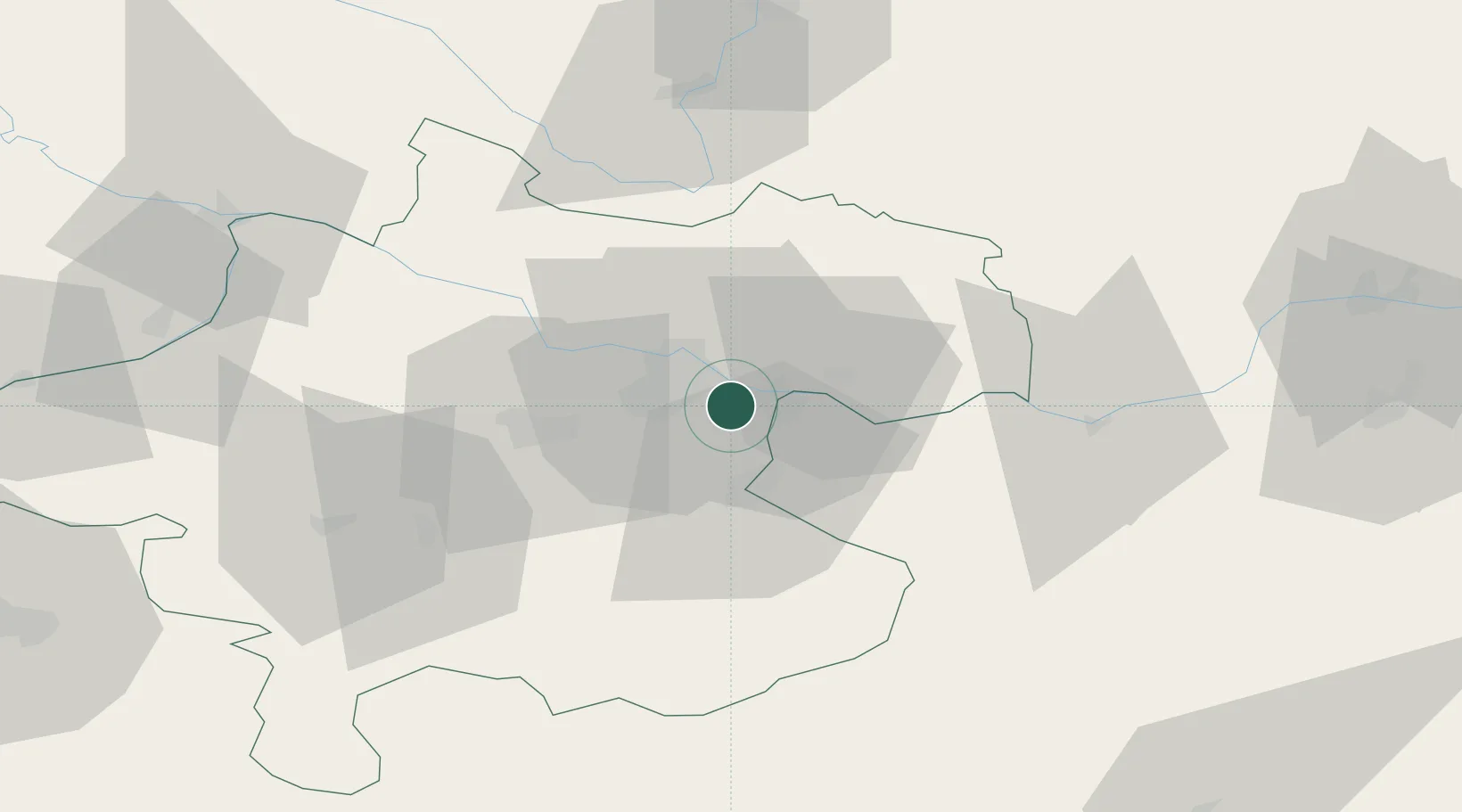
Populated place
Region
Upper Austria
Population
3,214
Time zone
Europe/Vienna
Elevation
251 m
Location
Nearby Logistics Neighbours
Ports
- 1Monfalcone278 km
- 2Nogaro289 km
- 3Trieste290 km
- 4Grado292 km
- 5Muggia295 km
Airports
- 1Linz-Hörsching Airport16 km
- 2České Budějovice South Bohemian Airport81 km
- 3Salzburg Airport114 km
- 4Hinterstoisser Air Base116 km
- 5Wiener Neustadt West Airport142 km
Trade Zones
DatabookThe Record of Consolidated Knowledge
Austria beyond logistics?