Transport Functions
Multimodal
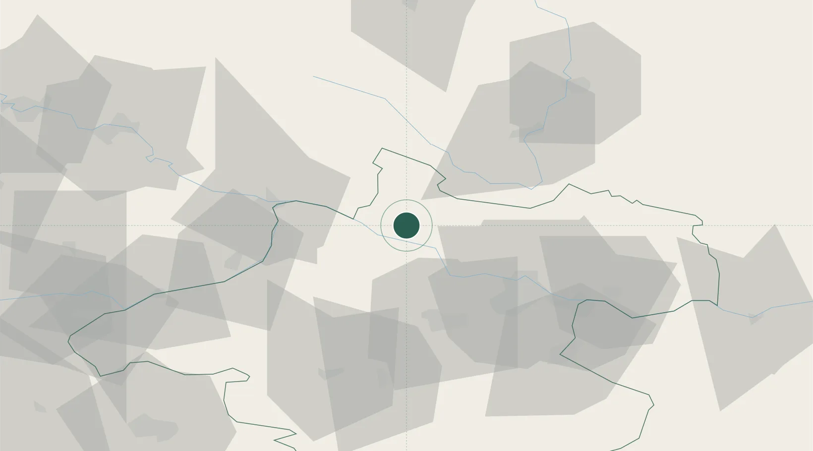
Hub Profile
Place type
Populated place
Region
Upper Austria
Population
48
Time zone
Europe/Vienna
Elevation
517 m
Location
Nearby Logistics Neighbours
Cities
- 1Lembach2 km
- 2Neufelden6 km
- 3Niederranna8 km
- 4Sankt Aegidi11 km
- 5Schlägl16 km
Ports
- 1Monfalcone303 km
- 2Nogaro310 km
- 3Grado315 km
- 4Trieste317 km
- 5Muggia323 km
Airports
- 1Linz-Hörsching Airport36 km
- 2České Budějovice South Bohemian Airport63 km
- 3Salzburg Airport103 km
- 4Landshut Airfield137 km
- 5Plzeň-Líně Airport138 km
Trade Zones
DatabookThe Record of Consolidated Knowledge
Austria beyond logistics?