Transport Functions
Rail
Road
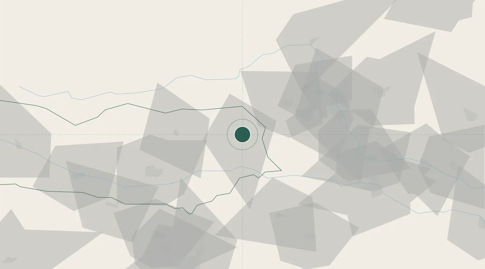
Hub Profile
Place type
Populated place
Region
Carinthia
Population
355
Time zone
Europe/Vienna
Elevation
624 m
Location
Nearby Logistics Neighbours
Cities
- 1Preitenegg8 km
- 2Bad Sankt Leonhard im Lavanttal11 km
- 3Mnichovice17 km
- 4Schwanberg29 km
- 5Althofen29 km
Ports
- 1Monfalcone157 km
- 2Trieste160 km
- 3Muggia164 km
- 4Koper170 km
- 5Rijeka Luka174 km
Airports
- 1Hinterstoisser Air Base39 km
- 2Graz Airport46 km
- 3Klagenfurt Airport47 km
- 4Maribor Edvard Rusjan Airport76 km
- 5Ljubljana Jože Pučnik Airport78 km
Trade Zones
- 1Krapina-Zagorje Free Zone111 km
- 2Sjever Free Zone130 km
- 3PJ Free Zone Zagreb142 km
- 4Free Port of Trieste160 km
- 5Free Zone Kukuljanovo172 km
DatabookThe Record of Consolidated Knowledge
Austria beyond logistics?