UN/LOCODE hub · Austria
ATBSL
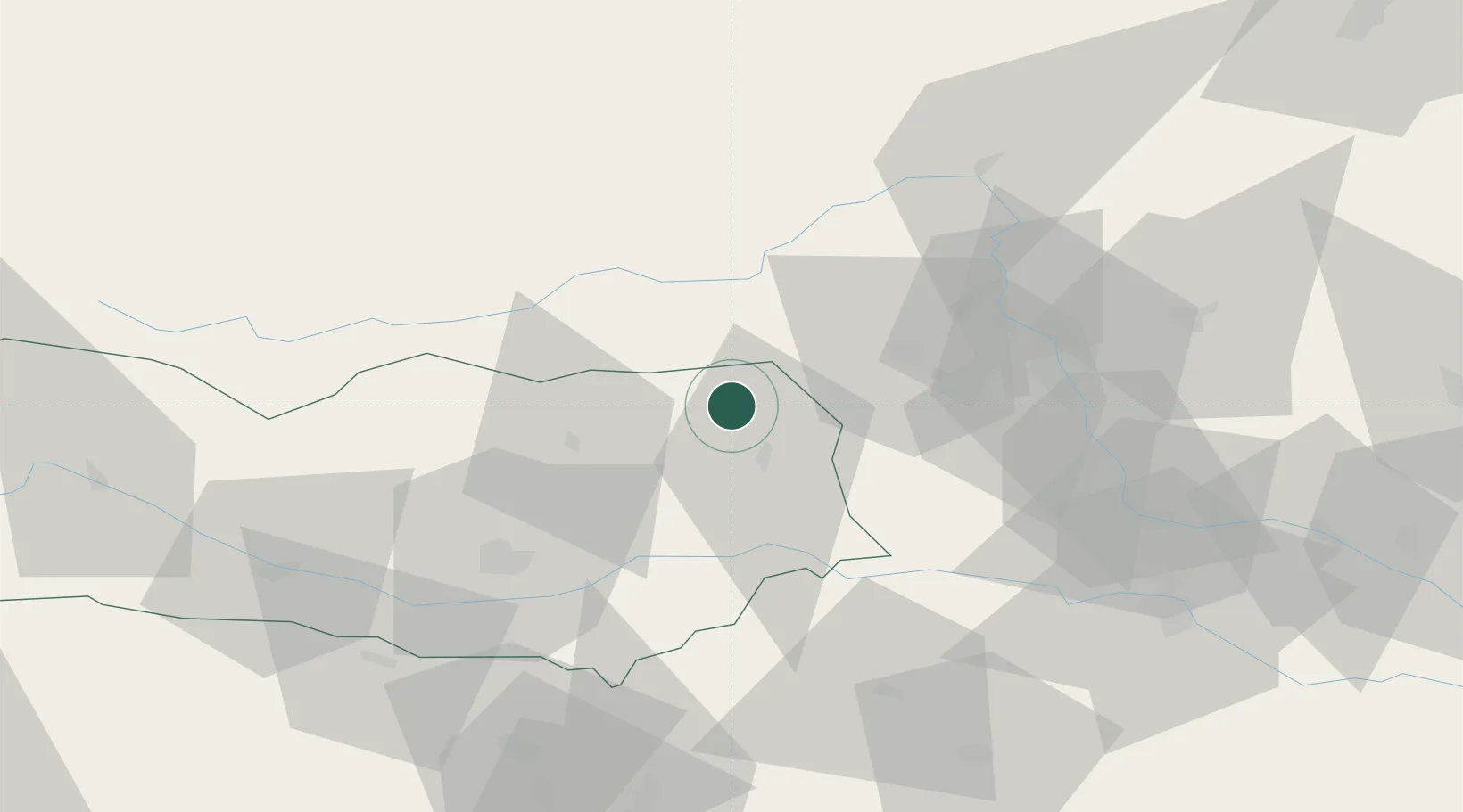
Bad Sankt Leonhard im Lavanttal
46.9500°, 14.7833°
1,940
Population
2
Transport functions
Transport Functions
Rail
Road
Hub Profile
Place type
Populated place
Region
Carinthia
Population
1,940
Time zone
Europe/Vienna
Elevation
707 m
Location
Nearby Logistics Neighbours
Cities
- 1Mnichovice6 km
- 2Preitenegg10 km
- 3Sankt Gertraud11 km
- 4Eppenstein21 km
- 5Althofen25 km
Ports
- 1Monfalcone161 km
- 2Trieste165 km
- 3Muggia169 km
- 4Koper175 km
- 5Grado180 km
Airports
- 1Hinterstoisser Air Base28 km
- 2Klagenfurt Airport48 km
- 3Graz Airport50 km
- 4Ljubljana Jože Pučnik Airport85 km
- 5Maribor Edvard Rusjan Airport86 km
Trade Zones
- 1Krapina-Zagorje Free Zone122 km
- 2Sjever Free Zone140 km
- 3PJ Free Zone Zagreb153 km
- 4Free Port of Trieste165 km
- 5Free Zone Kukuljanovo181 km
DatabookThe Record of Consolidated Knowledge
Austria beyond logistics?