Transport Functions
Rail
Road
Hub Profile
Place type
District seat
Region
Carinthia
Population
3,531
Time zone
Europe/Vienna
Elevation
688 m
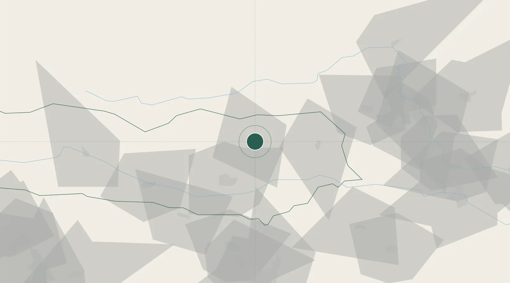
Location
Nearby Logistics Neighbours
Cities
- 1Treibach Althofen1 km
- 2Meiselding7 km
- 3Pischeldorf21 km
- 4Mnichovice22 km
- 5Bad Sankt Leonhard im Lavanttal25 km
Ports
- 1Monfalcone140 km
- 2Trieste147 km
- 3Muggia151 km
- 4Koper157 km
- 5Grado159 km
Airports
- 1Klagenfurt Airport27 km
- 2Hinterstoisser Air Base42 km
- 3Ljubljana Jože Pučnik Airport72 km
- 4Graz Airport74 km
- 5Maribor Edvard Rusjan Airport101 km
Trade Zones
- 1Krapina-Zagorje Free Zone133 km
- 2Free Port of Trieste147 km
- 3Sjever Free Zone156 km
- 4PJ Free Zone Zagreb160 km
- 5Free Zone Kukuljanovo170 km
DatabookThe Record of Consolidated Knowledge
Austria beyond logistics?