Transport Functions
Multimodal
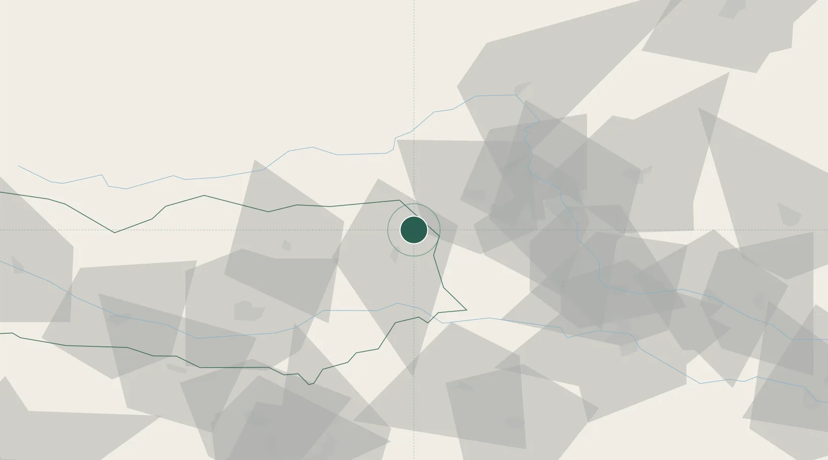
Hub Profile
Place type
District seat
Region
Carinthia
Population
271
Time zone
Europe/Vienna
Elevation
1,069 m
Location
Nearby Logistics Neighbours
Cities
- 1Sankt Gertraud8 km
- 2Bad Sankt Leonhard im Lavanttal10 km
- 3Mnichovice16 km
- 4Sankt Stefan ob Stainz25 km
- 5Eppenstein26 km
Ports
- 1Monfalcone165 km
- 2Trieste169 km
- 3Muggia173 km
- 4Koper179 km
- 5Rijeka Luka182 km
Airports
- 1Hinterstoisser Air Base33 km
- 2Graz Airport40 km
- 3Klagenfurt Airport55 km
- 4Maribor Edvard Rusjan Airport77 km
- 5Ljubljana Jože Pučnik Airport86 km
Trade Zones
- 1Krapina-Zagorje Free Zone114 km
- 2Sjever Free Zone130 km
- 3PJ Free Zone Zagreb146 km
- 4Free Port of Trieste169 km
- 5Free Zone Kukuljanovo180 km
DatabookThe Record of Consolidated Knowledge
Austria beyond logistics?