Large airport · Slovenia
Ljubljana Jože Pučnik AirportLJLJ
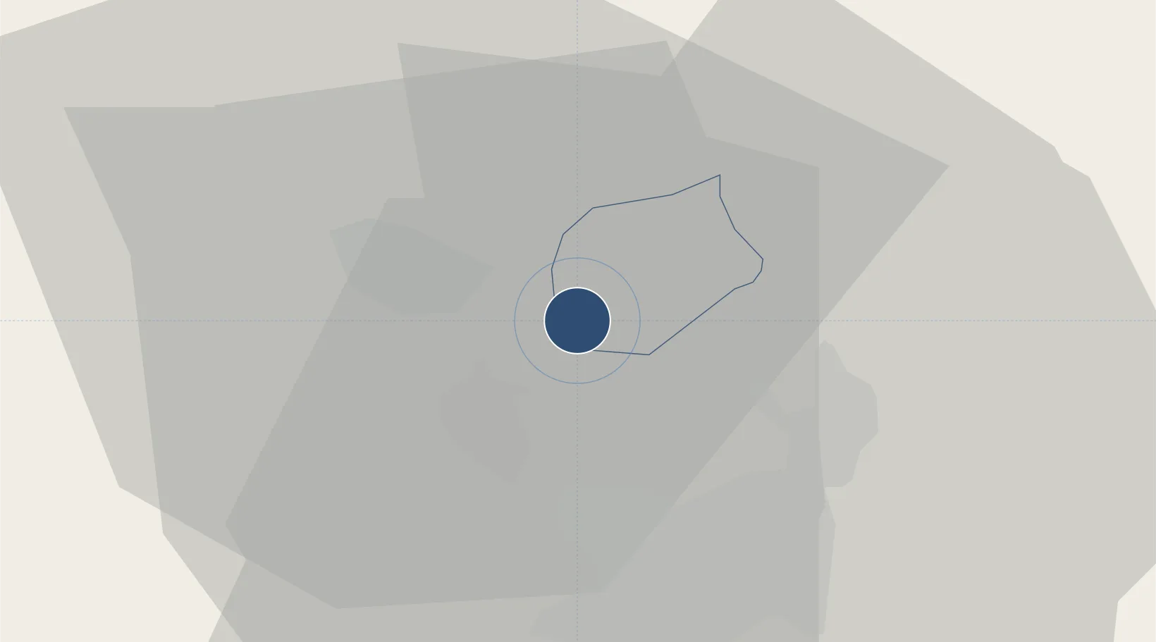
46.2237°, 14.4576°
10,827 ft
Longest runway
1
Runways
1,273 ft
Elevation
Runway & Layout

Radio Frequencies
ATIS
128.175 MHz
also on VOR DOL 112.700
TWR
118 MHz
GND
121.625 MHz
A/D
135.275 MHz
APP
HANDLING & GA
131.4 MHz
Navaids
DOL VOR-DME Dolsko 112.70 MHz
KAM NDB Dolsko 328 kHz
MG NDB Ljubljana 296 kHz
Runways · 1
| Runway | Dimensions | Surface | True heading | Lit |
|---|---|---|---|---|
| 12/30 | 10,827 × 148ft | Asphalt | 126° | ✓ |
Airport Specifications
IATA code
LJU
ICAO code
LJLJ
Airport class
Large airport
Scheduled service
Yes
Runway surface
Asphalt
Served city
Zgornji Brnik
Location
Nearby Logistics Neighbours
Airports
- 1Klagenfurt Airport48 km
- 2Trieste Airport88 km
- 3Cerklje ob Krki Air Base90 km
- 4Maribor Edvard Rusjan Airport99 km
- 5Portorož Airport106 km
Cities
- 1Suhadole8 km
- 2Zabnica12 km
- 3Radomlje13 km
- 4Naklo13 km
- 5Skofja Loka14 km
Ports
- 1Trieste84 km
- 2Monfalcone86 km
- 3Muggia88 km
- 4Koper94 km
- 5Rijeka Luka99 km
Trade Zones
- 1Free Port of Trieste84 km
- 2Free Zone Kukuljanovo99 km
- 3Krapina-Zagorje Free Zone110 km
- 4Port of Rijeka Free Zone116 km
- 5PJ Free Zone Zagreb119 km
DatabookThe Record of Consolidated Knowledge
Slovenia beyond logistics?