Transport Functions
Road
Multimodal
Hub Profile
Place type
Populated place
Region
Jihočeský kraj
Time zone
Europe/Prague
Elevation
742 m
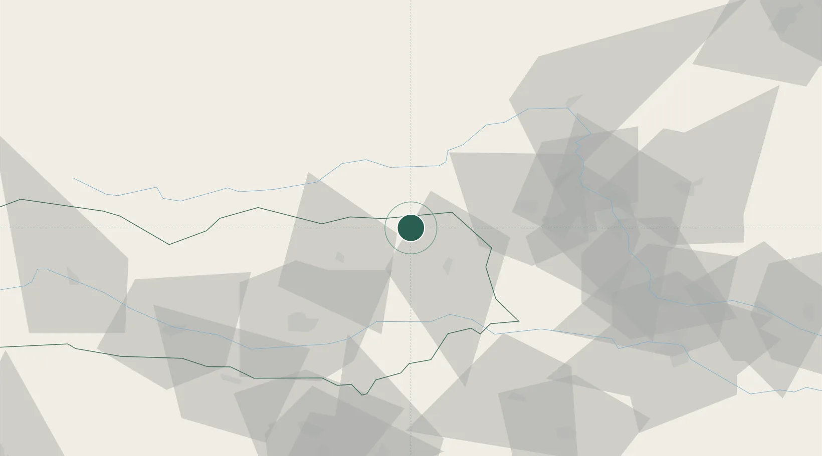
Location
Nearby Logistics Neighbours
Cities
- 1Bad Sankt Leonhard im Lavanttal6 km
- 2Preitenegg16 km
- 3Eppenstein17 km
- 4Sankt Gertraud17 km
- 5Althofen22 km
Ports
- 1Monfalcone161 km
- 2Trieste166 km
- 3Muggia170 km
- 4Koper176 km
- 5Grado180 km
Airports
- 1Hinterstoisser Air Base25 km
- 2Klagenfurt Airport48 km
- 3Graz Airport55 km
- 4Ljubljana Jože Pučnik Airport87 km
- 5Maribor Edvard Rusjan Airport93 km
Trade Zones
- 1Krapina-Zagorje Free Zone128 km
- 2Sjever Free Zone146 km
- 3PJ Free Zone Zagreb159 km
- 4Free Port of Trieste166 km
- 5Free Zone Kukuljanovo184 km
DatabookThe Record of Consolidated Knowledge
Czechia beyond logistics?