Transport Functions
Multimodal
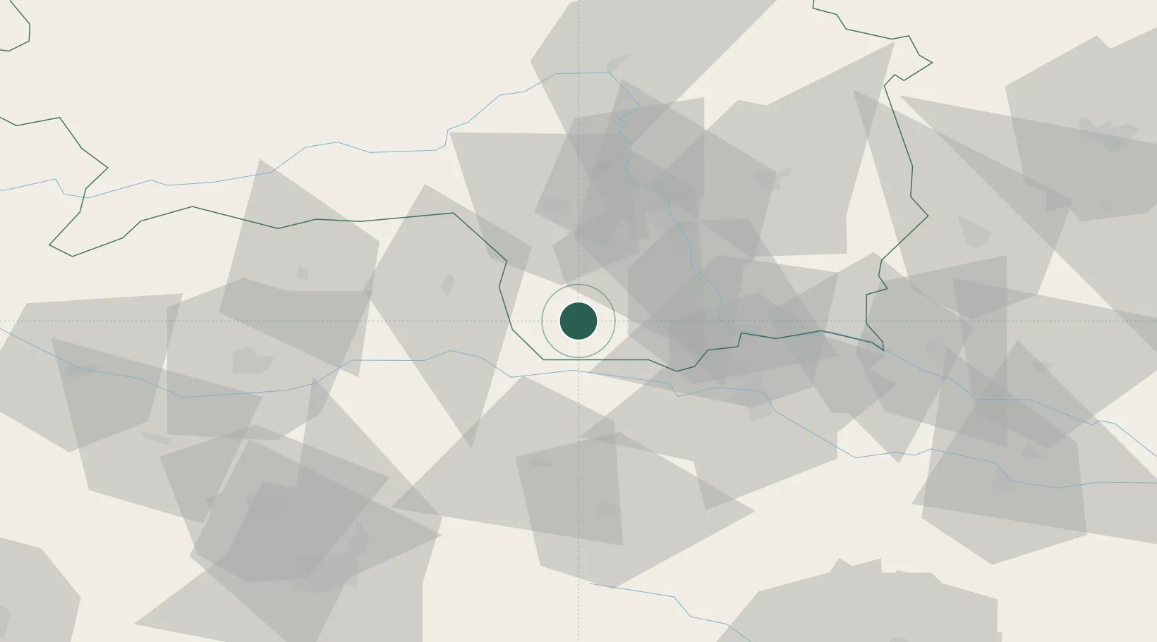
Hub Profile
Place type
District seat
Region
Styria
Population
1,363
Time zone
Europe/Vienna
Elevation
401 m
Location
Nearby Logistics Neighbours
Cities
- 1Frauental an der Lassnitz11 km
- 2Gross Sankt Florian12 km
- 3Gleinstätten13 km
- 4Pistorf13 km
- 5Vuzenica19 km
Ports
- 1Trieste166 km
- 2Monfalcone166 km
- 3Rijeka Luka168 km
- 4Muggia169 km
- 5Bakar169 km
Airports
- 1Graz Airport32 km
- 2Maribor Edvard Rusjan Airport48 km
- 3Hinterstoisser Air Base61 km
- 4Klagenfurt Airport67 km
- 5Ljubljana Jože Pučnik Airport82 km
Trade Zones
- 1Krapina-Zagorje Free Zone84 km
- 2Sjever Free Zone101 km
- 3PJ Free Zone Zagreb118 km
- 4Free Port of Trieste166 km
- 5Free Zone Kukuljanovo166 km
DatabookThe Record of Consolidated Knowledge
Austria beyond logistics?