Transport Functions
Multimodal
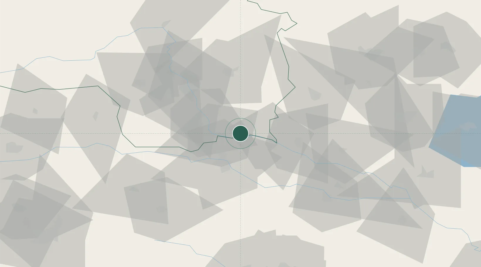
Hub Profile
Place type
District seat
Region
Styria
Population
587
Time zone
Europe/Vienna
Elevation
233 m
Location
Nearby Logistics Neighbours
Cities
- 1Eibiswald7 km
- 2Zgornja Velka8 km
- 3Straden10 km
- 4Cersak11 km
- 5Zgornji Jakobski Dol11 km
Ports
- 1Bakar186 km
- 2Rijeka Luka187 km
- 3Omisalj194 km
- 4Trieste198 km
- 5Muggia200 km
Airports
- 1Maribor Edvard Rusjan Airport29 km
- 2Graz Airport39 km
- 3Hinterstoisser Air Base95 km
- 4Cerklje ob Krki Air Base95 km
- 5Hévíz–Balaton Airport105 km
Trade Zones
- 1Krapina-Zagorje Free Zone65 km
- 2Sjever Free Zone65 km
- 3PJ Free Zone Zagreb104 km
- 4Free Zone Kukuljanovo184 km
- 5Free Port of Trieste198 km
DatabookThe Record of Consolidated Knowledge
Austria beyond logistics?