Transport Functions
Rail
Road
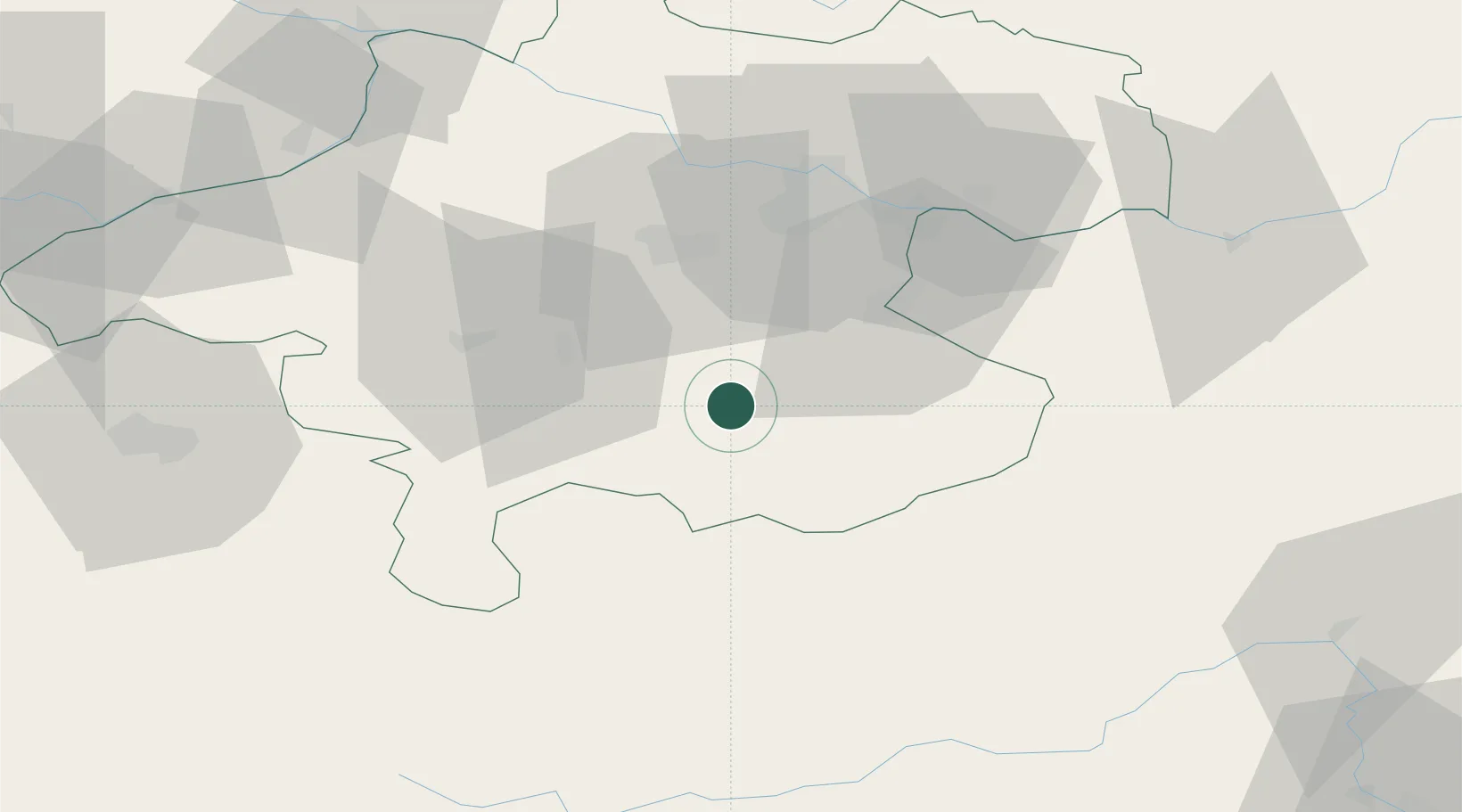
Hub Profile
Region
4
Location
Nearby Logistics Neighbours
Cities
- 1Kirchdorf an der Krems4 km
- 2Nussbach11 km
- 3Pettenbach13 km
- 4Scharnstein13 km
- 5Ternberg19 km
Ports
- 1Monfalcone236 km
- 2Nogaro246 km
- 3Trieste248 km
- 4Grado250 km
- 5Muggia254 km
Airports
- 1Linz-Hörsching Airport41 km
- 2Salzburg Airport85 km
- 3Hinterstoisser Air Base87 km
- 4České Budějovice South Bohemian Airport122 km
- 5Klagenfurt Airport137 km
Trade Zones
- 1Freeport of Deggendorf142 km
- 2Světlá nad Sázavou Municipal Industrial Zone221 km
- 3Krapina-Zagorje Free Zone232 km
- 4Černovická Terasa Industrial Zone237 km
- 5Sjever Free Zone242 km
DatabookThe Record of Consolidated Knowledge
Austria beyond logistics?