Transport Functions
Port
Rail
Road
Hub Profile
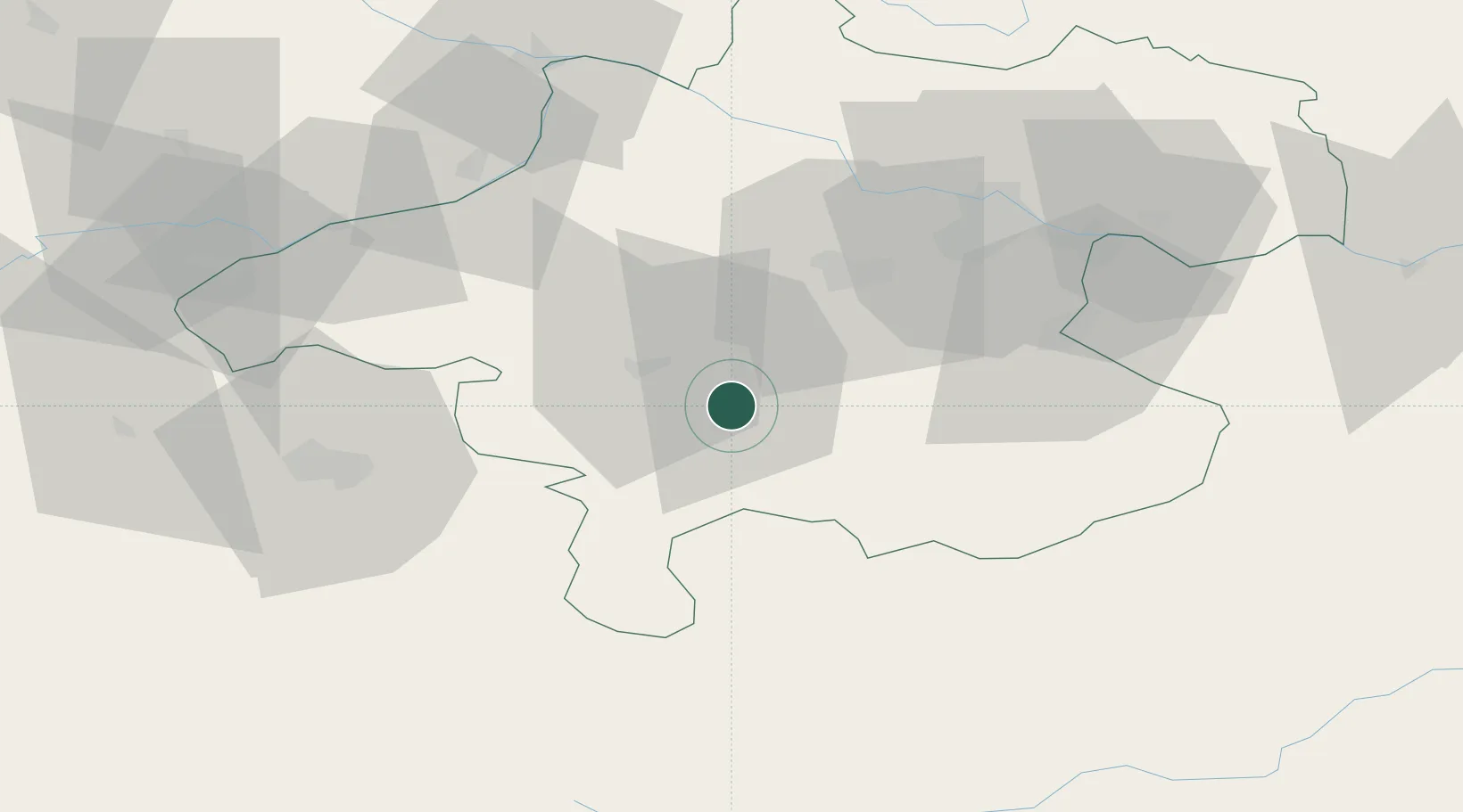
Place type
Populated place
Region
Upper Austria
Population
13,191
Time zone
Europe/Vienna
Elevation
434 m
Location
Nearby Logistics Neighbours
Cities
- 1Laakirchen6 km
- 2Attnang-Puchheim11 km
- 3Scharnstein13 km
- 4Vorchdorf13 km
- 5Pettenbach17 km
Ports
- 1Monfalcone238 km
- 2Nogaro245 km
- 3Grado250 km
- 4Trieste252 km
- 5Muggia258 km
Airports
- 1Linz-Hörsching Airport46 km
- 2Salzburg Airport61 km
- 3Hinterstoisser Air Base106 km
- 4České Budějovice South Bohemian Airport124 km
- 5Landshut Airfield147 km
Trade Zones
- 1Freeport of Deggendorf123 km
- 2Světlá nad Sázavou Municipal Industrial Zone228 km
- 3Industrial Zone Kutna Hora249 km
- 4Krapina-Zagorje Free Zone252 km
- 5Free Port of Trieste253 km
DatabookThe Record of Consolidated Knowledge
Austria beyond logistics?