UN/LOCODE hub · Austria
ATKKM

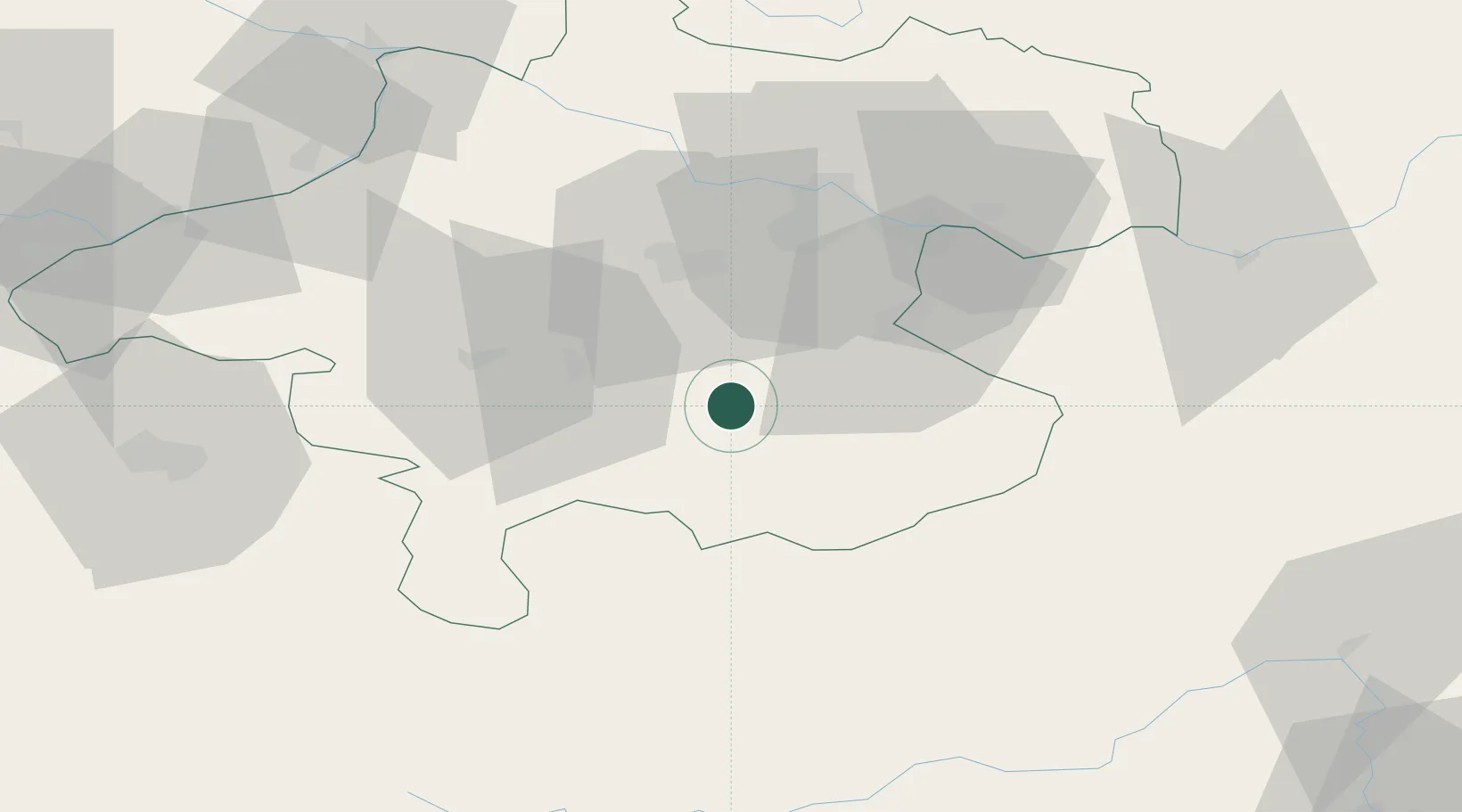
Kirchdorf an der Krems

47.9000°, 14.1167°
4,502
Population
2
Transport functions

Transport Functions

Rail
Road
UN/LOCODE

Hub Profile

Place type
Populated place
GeoNames
Region
Upper Austria
GeoNames
Population
4,502
GeoNames
Time zone
Europe/Vienna
GeoNames
Elevation
446 m
GeoNames

Location

Location of ATKKM
Natural Earth 10m (public domain) · Upper Austria · ATKKM · 47.90, 14.12GoogleOSMYandex

Nearby Logistics Neighbours

Cities
  1. 1Micheldorf in Oberösterreich4 km
  2. 2Nussbach8 km
  3. 3Pettenbach9 km
  4. 4Scharnstein11 km
  5. 5Eberstalzell19 km
Nearest neighbours — logibook spatial index (haversine) over the source coordinates
Ports
  1. 1Monfalcone239 km
  2. 2Nogaro249 km
  3. 3Trieste252 km
  4. 4Grado253 km
  5. 5Muggia257 km
Nearest neighbours — logibook spatial index (haversine) over the source coordinates
Airports
  1. 1Linz-Hörsching Airport38 km
  2. 2Salzburg Airport84 km
  3. 3Hinterstoisser Air Base91 km
  4. 4České Budějovice South Bohemian Airport119 km
  5. 5Klagenfurt Airport141 km
Nearest neighbours — logibook spatial index (haversine) over the source coordinates
Trade Zones
  1. 1Freeport of Deggendorf138 km
  2. 2Světlá nad Sázavou Municipal Industrial Zone219 km
  3. 3Černovická Terasa Industrial Zone236 km
  4. 4Krapina-Zagorje Free Zone236 km
  5. 5Industrial Zone Kutna Hora242 km
Nearest neighbours — logibook spatial index (haversine) over the source coordinates
DatabookThe Record of Consolidated Knowledge
Austria beyond logistics?
Browse databook

All Sources

LocationsUN/LOCODE
UN/LOCODE — free
LocationsGeoNames
CC BY 4.0
Portsthe NGA World Port Index
Public domain (US gov)
AirportsOurAirports
Public domain
Trade Zonesthe World Bank SEZ database
CC BY 4.0
Trade ZonesOpen Zone Map
CC BY
← Austria locations