Transport Functions
Port
Road
Hub Profile
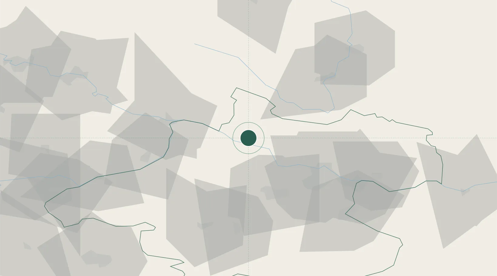
Place type
Populated place
Region
Lower Austria
Population
115
Time zone
Europe/Vienna
Elevation
728 m
Location
Nearby Logistics Neighbours
Cities
- 1Aigen2 km
- 2Niederranna6 km
- 3Neufelden7 km
- 4Sankt Aegidi10 km
- 5Hartkirchen17 km
Ports
- 1Monfalcone301 km
- 2Nogaro308 km
- 3Grado313 km
- 4Trieste315 km
- 5Muggia321 km
Airports
- 1Linz-Hörsching Airport36 km
- 2České Budějovice South Bohemian Airport65 km
- 3Salzburg Airport101 km
- 4Landshut Airfield136 km
- 5Plzeň-Líně Airport140 km
Trade Zones
DatabookThe Record of Consolidated Knowledge
Austria beyond logistics?