Transport Functions
Rail
Road
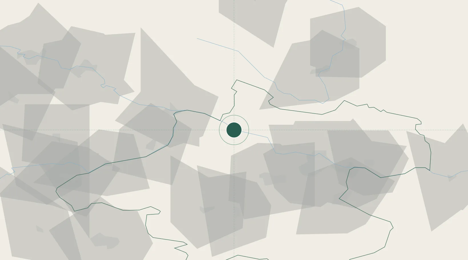
Hub Profile
Place type
Populated place
Region
Upper Austria
Population
156
Time zone
Europe/Vienna
Elevation
286 m
Location
Nearby Logistics Neighbours
Cities
- 1Sankt Aegidi4 km
- 2Lembach6 km
- 3Aigen8 km
- 4Kopfing im Innkreis12 km
- 5Neufelden14 km
Ports
- 1Monfalcone299 km
- 2Nogaro305 km
- 3Grado310 km
- 4Trieste313 km
- 5Muggia319 km
Airports
- 1Linz-Hörsching Airport39 km
- 2České Budějovice South Bohemian Airport71 km
- 3Salzburg Airport95 km
- 4Landshut Airfield130 km
- 5Plzeň-Líně Airport140 km
Trade Zones
DatabookThe Record of Consolidated Knowledge
Austria beyond logistics?