Transport Functions
Port
Road
Hub Profile
Place type
District seat
Region
Upper Austria
Population
263
Time zone
Europe/Vienna
Elevation
596 m
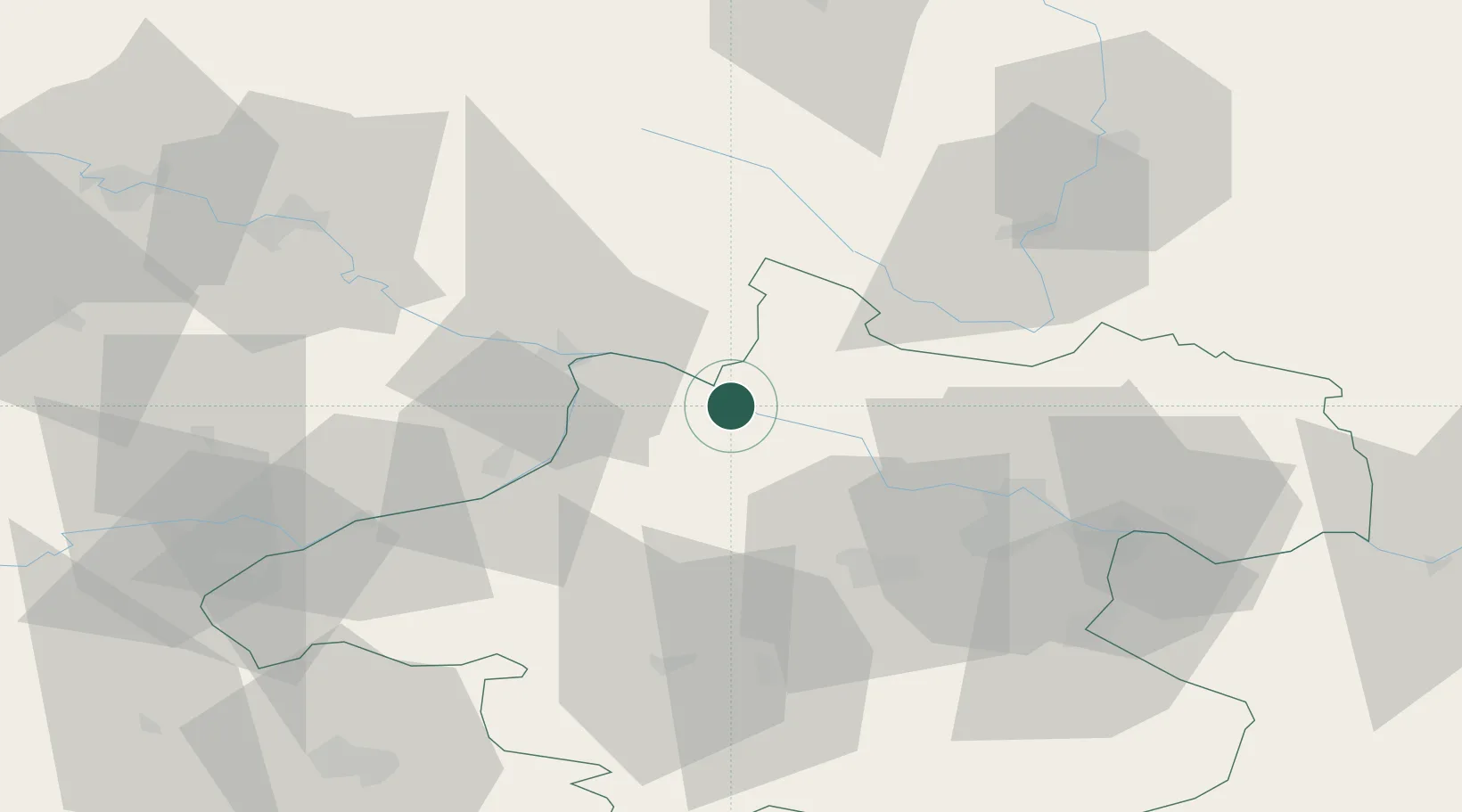
Location
Nearby Logistics Neighbours
Cities
- 1Niederranna4 km
- 2Kopfing im Innkreis9 km
- 3Lembach10 km
- 4Aigen11 km
- 5Obernzell12 km
Ports
- 1Monfalcone301 km
- 2Nogaro306 km
- 3Grado312 km
- 4Trieste315 km
- 5Muggia321 km
Airports
- 1Linz-Hörsching Airport43 km
- 2České Budějovice South Bohemian Airport72 km
- 3Salzburg Airport95 km
- 4Landshut Airfield126 km
- 5Plzeň-Líně Airport137 km
Trade Zones
DatabookThe Record of Consolidated Knowledge
Austria beyond logistics?