Transport Functions
Rail
Road
Hub Profile
Place type
District seat
Region
Styria
Population
2,277
Time zone
Europe/Vienna
Elevation
270 m
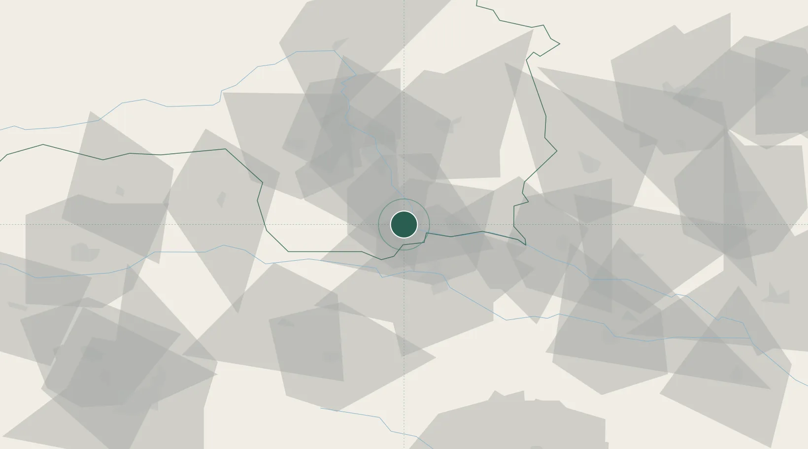
Location
Nearby Logistics Neighbours
Cities
- 1Gamlitz4 km
- 2Tillmitsch8 km
- 3Spielfeld8 km
- 4Lebring11 km
- 5Leutschach11 km
Ports
- 1Bakar179 km
- 2Rijeka Luka180 km
- 3Trieste185 km
- 4Omisalj187 km
- 5Monfalcone188 km
Airports
- 1Graz Airport28 km
- 2Maribor Edvard Rusjan Airport32 km
- 3Hinterstoisser Air Base79 km
- 4Klagenfurt Airport93 km
- 5Cerklje ob Krki Air Base95 km
Trade Zones
- 1Krapina-Zagorje Free Zone71 km
- 2Sjever Free Zone79 km
- 3PJ Free Zone Zagreb109 km
- 4Free Zone Kukuljanovo177 km
- 5Free Port of Trieste185 km
DatabookThe Record of Consolidated Knowledge
Austria beyond logistics?