Transport Functions
Rail
Road
Hub Profile
Place type
District seat
Region
Lower Austria
Population
4,196
Time zone
Europe/Vienna
Elevation
344 m
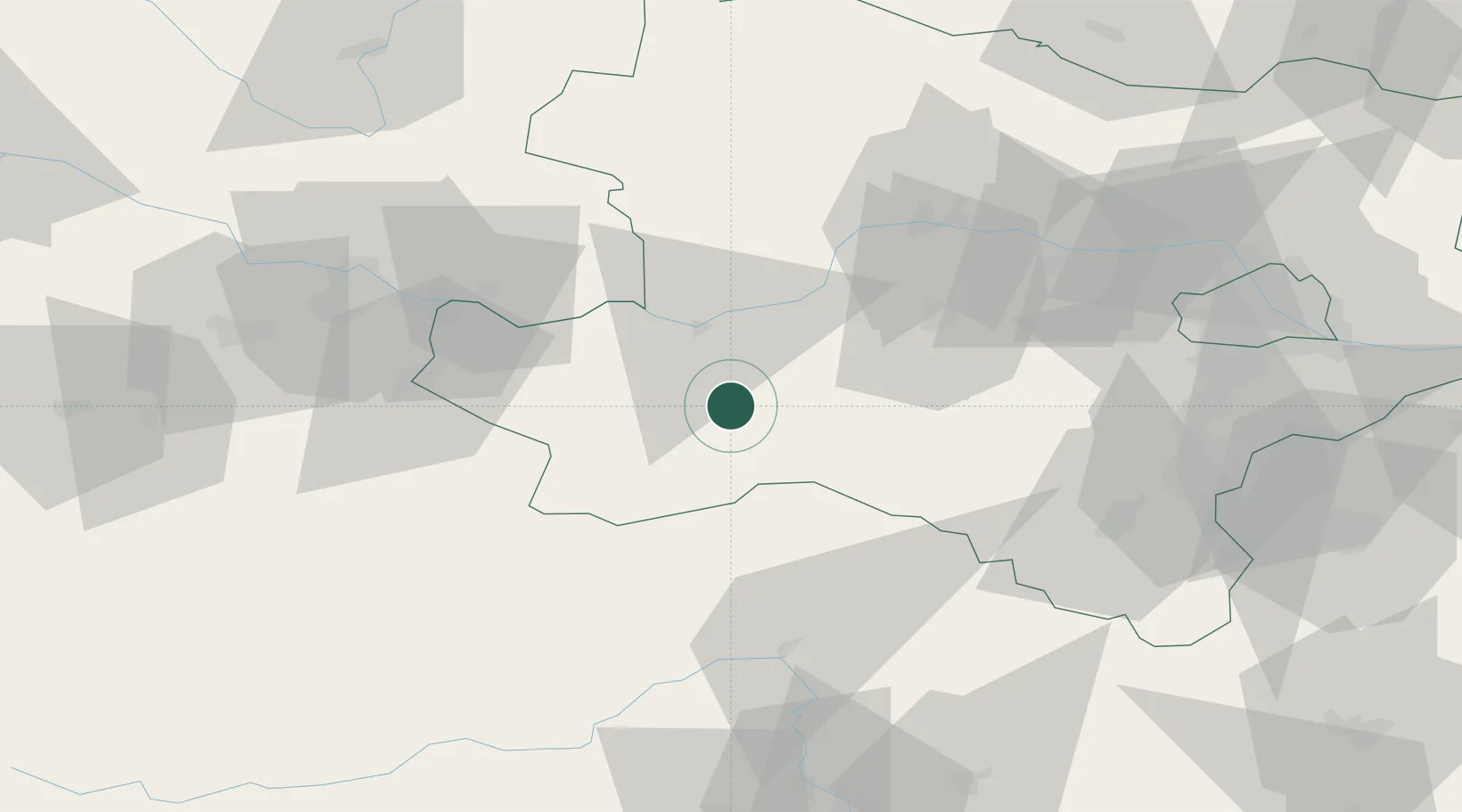
Location
Nearby Logistics Neighbours
Cities
- 1Purgstall an der Erlauf6 km
- 2Petzenkirchen15 km
- 3Sankt Leonhard am Forst17 km
- 4Blindenmarkt20 km
- 5Persenbeug22 km
Ports
- 1Monfalcone275 km
- 2Trieste283 km
- 3Muggia287 km
- 4Nogaro292 km
- 5Grado293 km
Airports
Trade Zones
DatabookThe Record of Consolidated Knowledge
Austria beyond logistics?