UN/LOCODE hub · Austria
ATLFT

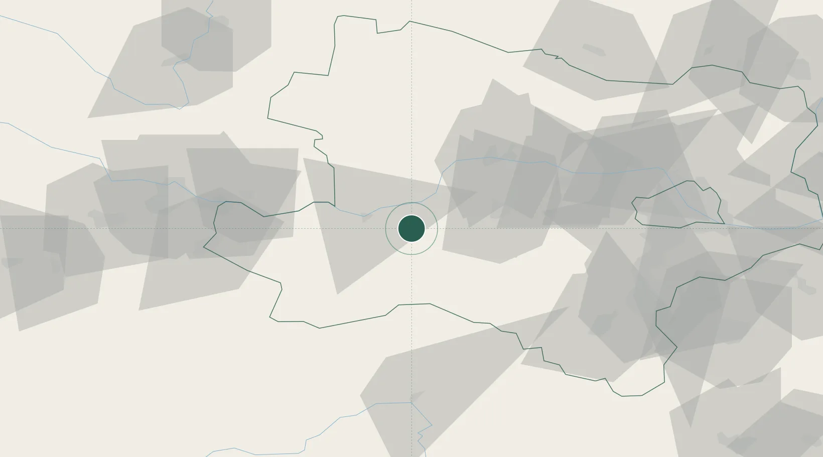
Sankt Leonhard am Forst

48.1333°, 15.2833°
1,438
Population
2
Transport functions

Transport Functions

Road
Multimodal
UN/LOCODE

Hub Profile

Place type
District seat
GeoNames
Region
Lower Austria
GeoNames
Population
1,438
GeoNames
Time zone
Europe/Vienna
GeoNames
Elevation
244 m
GeoNames

Location

Location of ATLFT
Natural Earth 10m (public domain) · Lower Austria · ATLFT · 48.13, 15.28GoogleOSMYandex

Nearby Logistics Neighbours

Cities
  1. 1Petzenkirchen10 km
  2. 2Kleinpöchlarn11 km
  3. 3Loosdorf11 km
  4. 4Emmersdorf an der Donau12 km
  5. 5Krummnussbaum13 km
Nearest neighbours — logibook spatial index (haversine) over the source coordinates
Ports
  1. 1Monfalcone293 km
  2. 2Trieste300 km
  3. 3Muggia304 km
  4. 4Nogaro309 km
  5. 5Grado310 km
Nearest neighbours — logibook spatial index (haversine) over the source coordinates
Airports
  1. 1Wiener Neustadt West Airport77 km
  2. 2Wiener Neustadt East Airport80 km
  3. 3Linz-Hörsching Airport82 km
  4. 4Vienna International Airport96 km
  5. 5České Budějovice South Bohemian Airport110 km
Nearest neighbours — logibook spatial index (haversine) over the source coordinates
Trade Zones
  1. 1Černovická Terasa Industrial Zone154 km
  2. 2Světlá nad Sázavou Municipal Industrial Zone171 km
  3. 3Veselí nad Moravou Industrial Zone179 km
  4. 4Freeport of Deggendorf193 km
  5. 5Industrial Zone Kutna Hora201 km
Nearest neighbours — logibook spatial index (haversine) over the source coordinates
DatabookThe Record of Consolidated Knowledge
Austria beyond logistics?
Browse databook

All Sources

LocationsUN/LOCODE
UN/LOCODE — free
LocationsGeoNames
CC BY 4.0
Portsthe NGA World Port Index
Public domain (US gov)
AirportsOurAirports
Public domain
Trade Zonesthe World Bank SEZ database
CC BY 4.0
Trade ZonesOpen Zone Map
CC BY
← Austria locations