Transport Functions
Multimodal
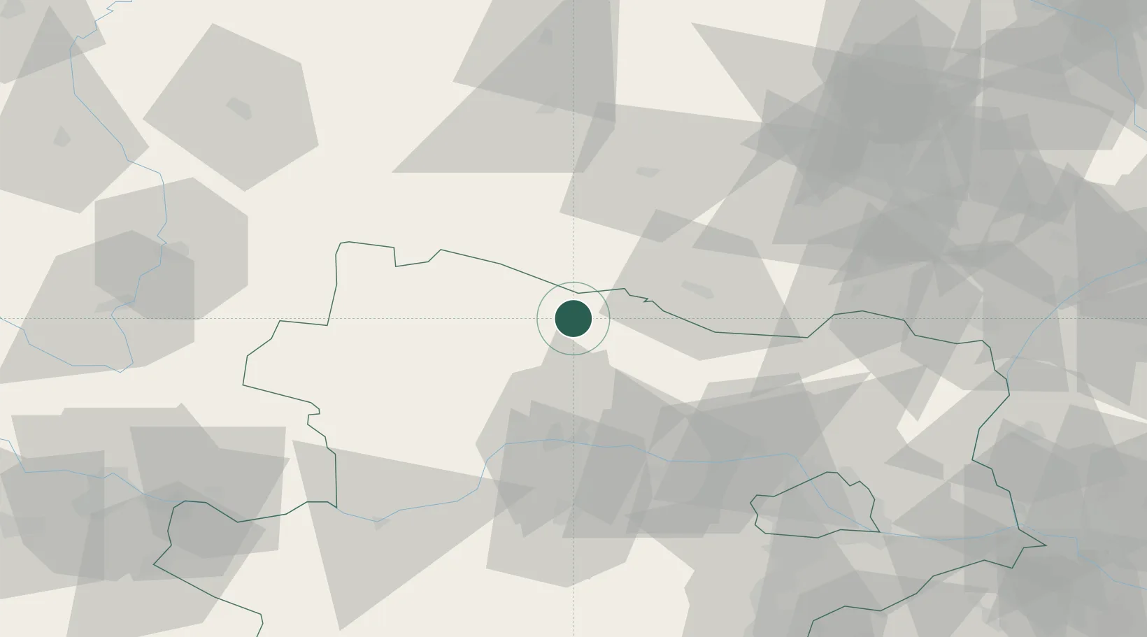
Hub Profile
Place type
District seat
Region
Lower Austria
Population
473
Time zone
Europe/Vienna
Elevation
459 m
Location
Nearby Logistics Neighbours
Cities
- 1Hötzelsdorf2 km
- 2Japons7 km
- 3Rosenburg17 km
- 4Schrattenthal20 km
- 5Retz21 km
Ports
- 1Monfalcone370 km
- 2Trieste377 km
- 3Muggia382 km
- 4Nogaro386 km
- 5Grado387 km
Airports
Trade Zones
DatabookThe Record of Consolidated Knowledge
Austria beyond logistics?