Transport Functions
Rail
Road
Hub Profile
Place type
District seat
Region
Upper Austria
Population
1,103
Time zone
Europe/Vienna
Elevation
359 m
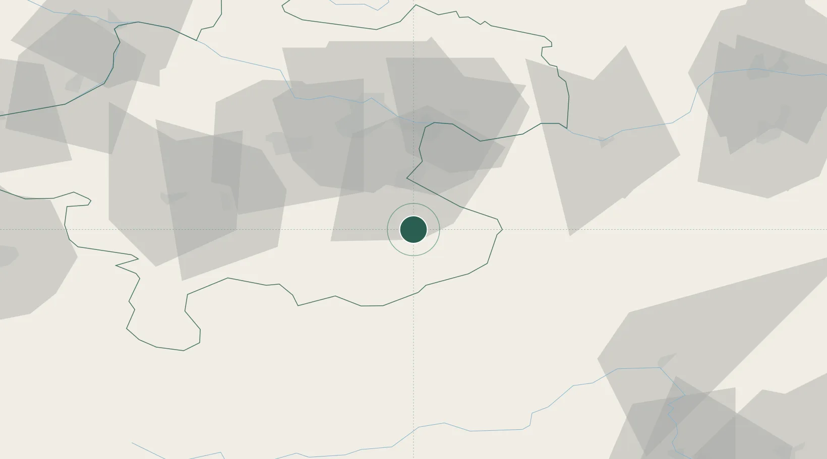
Location
Nearby Logistics Neighbours
Cities
- 1Ternberg8 km
- 2Weyer15 km
- 3Aschach an der Steyr16 km
- 4Haidershofen20 km
- 5Sierninghofen21 km
Ports
- 1Monfalcone243 km
- 2Trieste254 km
- 3Nogaro256 km
- 4Grado258 km
- 5Muggia259 km
Airports
- 1Linz-Hörsching Airport44 km
- 2Hinterstoisser Air Base79 km
- 3Salzburg Airport108 km
- 4České Budějovice South Bohemian Airport118 km
- 5Graz Airport124 km
Trade Zones
- 1Freeport of Deggendorf157 km
- 2Světlá nad Sázavou Municipal Industrial Zone211 km
- 3Černovická Terasa Industrial Zone218 km
- 4Krapina-Zagorje Free Zone221 km
- 5Sjever Free Zone228 km
DatabookThe Record of Consolidated Knowledge
Austria beyond logistics?