Transport Functions
Multimodal
Hub Profile
Place type
District seat
Region
Upper Austria
Population
3,296
Time zone
Europe/Vienna
Elevation
404 m
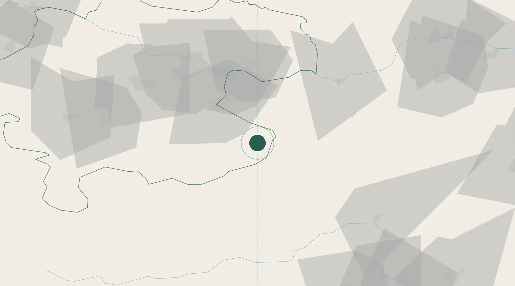
Location
Nearby Logistics Neighbours
Cities
- 1Sonntagberg15 km
- 2Reichraming15 km
- 3Böhlerwenk17 km
- 4Hilm20 km
- 5Seitenstetten Markt20 km
Ports
- 1Monfalcone245 km
- 2Trieste254 km
- 3Nogaro258 km
- 4Muggia259 km
- 5Grado261 km
Airports
- 1Linz-Hörsching Airport55 km
- 2Hinterstoisser Air Base72 km
- 3Graz Airport113 km
- 4Wiener Neustadt West Airport117 km
- 5Wiener Neustadt East Airport120 km
Trade Zones
- 1Freeport of Deggendorf170 km
- 2Černovická Terasa Industrial Zone209 km
- 3Světlá nad Sázavou Municipal Industrial Zone210 km
- 4Krapina-Zagorje Free Zone211 km
- 5Sjever Free Zone216 km
DatabookThe Record of Consolidated Knowledge
Austria beyond logistics?