Transport Functions
Multimodal
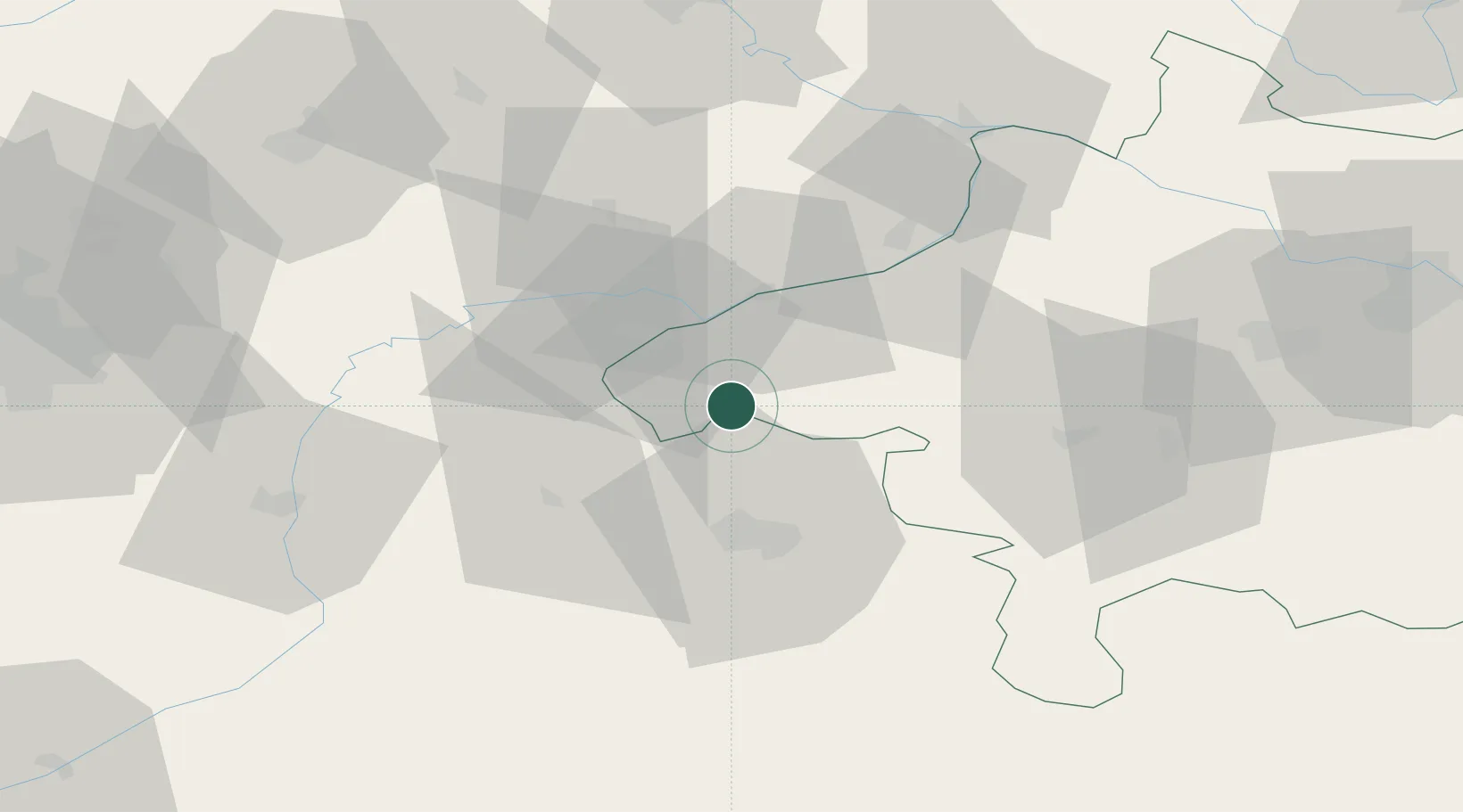
Hub Profile
Place type
District seat
Region
Upper Austria
Population
445
Time zone
Europe/Vienna
Elevation
475 m
Location
Nearby Logistics Neighbours
Cities
- 1Perwang9 km
- 2Sankt Georgen bei Salzburg11 km
- 3Ostermiething11 km
- 4Palting12 km
- 5Berg (Traunstein)13 km
Ports
- 1Nogaro255 km
- 2Monfalcone256 km
- 3Grado263 km
- 4Trieste273 km
- 5Muggia279 km
Airports
- 1Salzburg Airport29 km
- 2Landshut Airfield87 km
- 3Linz-Hörsching Airport92 km
- 4Munich Airport95 km
- 5Oberpfaffenhofen Airport126 km
Trade Zones
DatabookThe Record of Consolidated Knowledge
Austria beyond logistics?