UN/LOCODE hub · Austria
ATFBZ
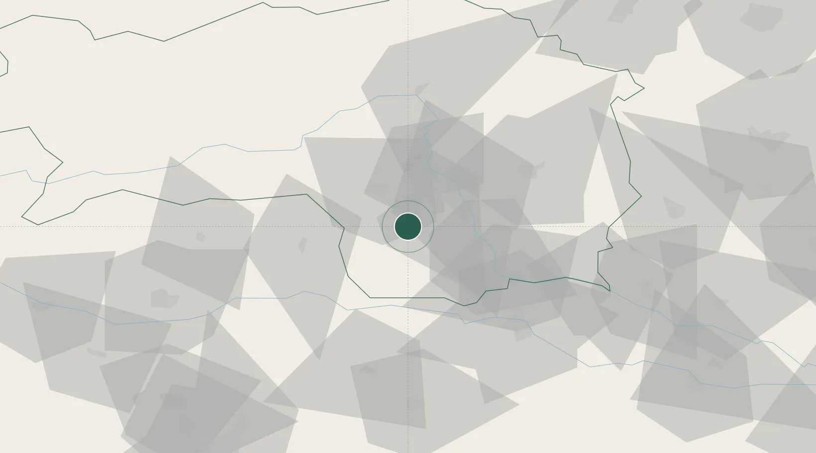
Sankt Stefan ob Stainz
46.9167°, 15.2500°
807
Population
1
Transport functions
Transport Functions
Port
Hub Profile
Place type
District seat
Region
Styria
Population
807
Time zone
Europe/Vienna
Elevation
376 m
Location
Nearby Logistics Neighbours
Cities
- 1Söding8 km
- 2Lieboch8 km
- 3Frauental an der Lassnitz9 km
- 4Unterpremstätten12 km
- 5Gross Sankt Florian12 km
Ports
- 1Monfalcone181 km
- 2Trieste182 km
- 3Muggia186 km
- 4Rijeka Luka187 km
- 5Bakar188 km
Airports
- 1Graz Airport17 km
- 2Hinterstoisser Air Base50 km
- 3Maribor Edvard Rusjan Airport59 km
- 4Klagenfurt Airport76 km
- 5Ljubljana Jože Pučnik Airport98 km
Trade Zones
- 1Krapina-Zagorje Free Zone98 km
- 2Sjever Free Zone109 km
- 3PJ Free Zone Zagreb133 km
- 4Free Port of Trieste182 km
- 5Free Zone Kukuljanovo185 km
DatabookThe Record of Consolidated Knowledge
Austria beyond logistics?