Transport Functions
Rail
Road
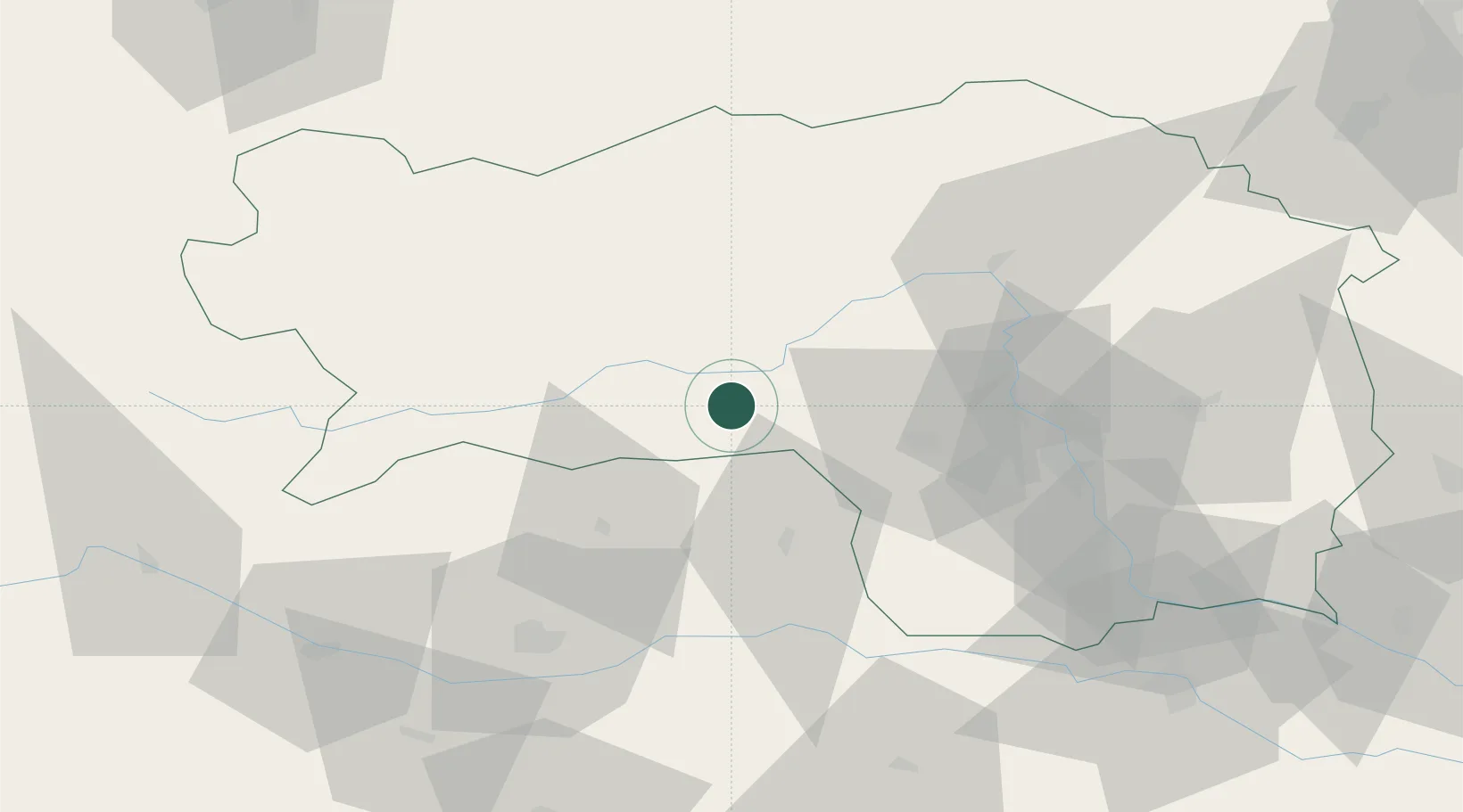
Hub Profile
Place type
District seat
Region
Styria
Population
308
Time zone
Europe/Vienna
Elevation
725 m
Location
Nearby Logistics Neighbours
Cities
- 1Knittelfeld10 km
- 2Spielberg bei Knittelfeld10 km
- 3Pöls16 km
- 4Mnichovice17 km
- 5Bad Sankt Leonhard im Lavanttal21 km
Ports
- 1Monfalcone175 km
- 2Trieste181 km
- 3Muggia186 km
- 4Koper192 km
- 5Grado194 km
Airports
- 1Hinterstoisser Air Base8 km
- 2Graz Airport56 km
- 3Klagenfurt Airport62 km
- 4Maribor Edvard Rusjan Airport103 km
- 5Ljubljana Jože Pučnik Airport103 km
Trade Zones
- 1Krapina-Zagorje Free Zone140 km
- 2Sjever Free Zone154 km
- 3PJ Free Zone Zagreb172 km
- 4Free Port of Trieste182 km
- 5Free Zone Kukuljanovo201 km
DatabookThe Record of Consolidated Knowledge
Austria beyond logistics?