Transport Functions
Rail
Road
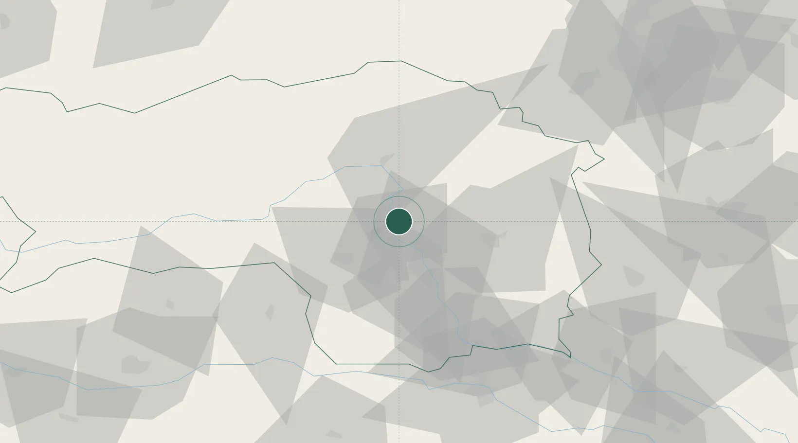
Hub Profile
Place type
District seat
Region
Styria
Population
1,949
Time zone
Europe/Vienna
Elevation
409 m
Location
Nearby Logistics Neighbours
Cities
- 1Judendorf9 km
- 2Gratwein10 km
- 3Pernegg an der Mur17 km
- 4Feldkirchen bei Graz22 km
- 5Seiersberg23 km
Ports
- 1Monfalcone209 km
- 2Trieste212 km
- 3Muggia215 km
- 4Rijeka Luka219 km
- 5Bakar220 km
Airports
- 1Graz Airport24 km
- 2Hinterstoisser Air Base46 km
- 3Maribor Edvard Rusjan Airport84 km
- 4Wiener Neustadt West Airport96 km
- 5Klagenfurt Airport99 km
Trade Zones
- 1Krapina-Zagorje Free Zone123 km
- 2Sjever Free Zone126 km
- 3PJ Free Zone Zagreb161 km
- 4Free Port of Trieste212 km
- 5Free Zone Kukuljanovo217 km
DatabookThe Record of Consolidated Knowledge
Austria beyond logistics?