Transport Functions
Rail
Road
Hub Profile
Place type
District seat
Region
Salzburg
Population
2,544
Time zone
Europe/Vienna
Elevation
551 m
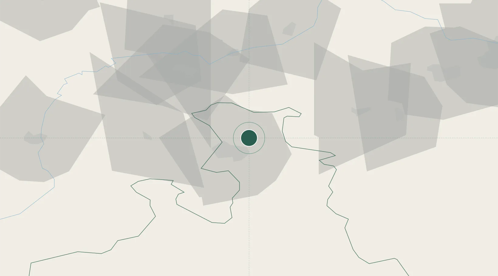
Location
Nearby Logistics Neighbours
Cities
- 1Hallwang3 km
- 2Elixhausen4 km
- 3Salzburg7 km
- 4Anthering8 km
- 5Obertrum am See8 km
Ports
- 1Monfalcone234 km
- 2Nogaro234 km
- 3Grado242 km
- 4Trieste251 km
- 5Muggia257 km
Airports
- 1Salzburg Airport12 km
- 2Linz-Hörsching Airport90 km
- 3Landshut Airfield108 km
- 4Munich Airport113 km
- 5Oberpfaffenhofen Airport139 km
Trade Zones
- 1Freeport of Deggendorf110 km
- 2Free Port of Trieste252 km
- 3Světlá nad Sázavou Municipal Industrial Zone262 km
- 4Podbořany Industrial Zone263 km
- 5Livigno Free Trade Zone272 km
DatabookThe Record of Consolidated Knowledge
Austria beyond logistics?