UN/LOCODE hub · Austria
ATMAL
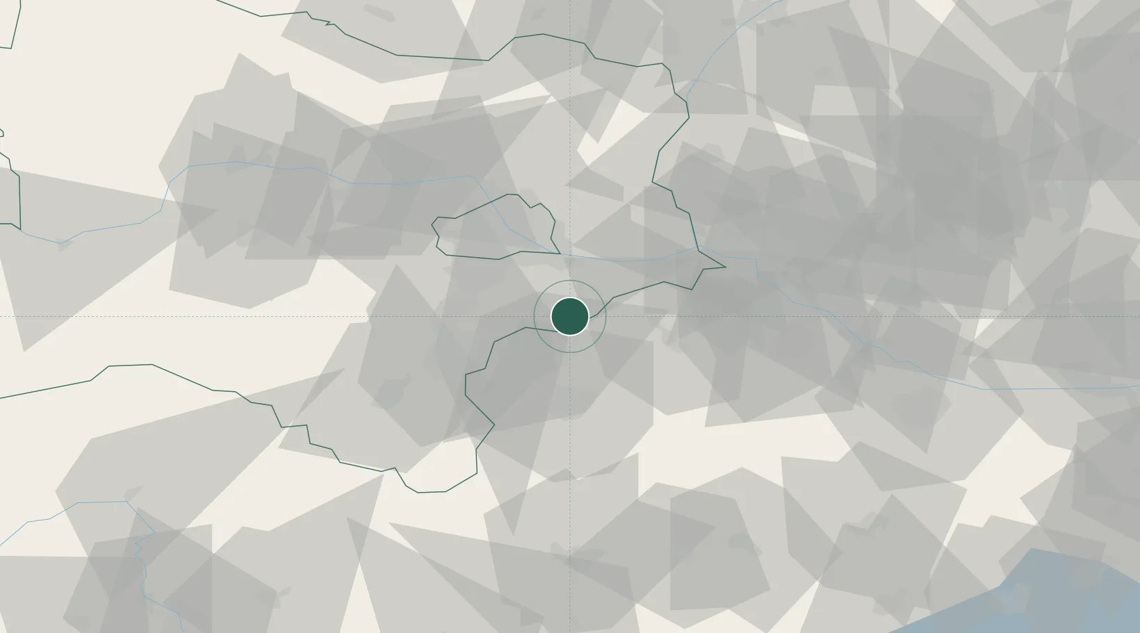
Mannersdorf am Leithagebirge
47.9667°, 16.6000°
3,328
Population
1
Transport functions
Transport Functions
Multimodal
Hub Profile
Place type
District seat
Region
Lower Austria
Population
3,328
Time zone
Europe/Vienna
Elevation
228 m
Location
Nearby Logistics Neighbours
Cities
- 1Donnerskirchen8 km
- 2Schutzen am Gebirge13 km
- 3Wimpassing an der Laitha15 km
- 4Jois15 km
- 5Ebreichsdorf15 km
Ports
- 1Monfalcone336 km
- 2Bakar336 km
- 3Rijeka Luka336 km
- 4Trieste337 km
- 5Muggia340 km
Airports
Trade Zones
- 1Veselí nad Moravou Industrial Zone124 km
- 2Černovická Terasa Industrial Zone134 km
- 3Holešov Industrial Zone166 km
- 4Sjever Free Zone188 km
- 5Göd Special Economic Zone194 km
DatabookThe Record of Consolidated Knowledge
Austria beyond logistics?