Transport Functions
Multimodal
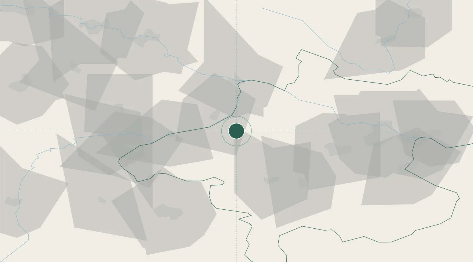
Hub Profile
Place type
District seat
Region
Upper Austria
Time zone
Europe/Vienna
Elevation
371 m
Location
Nearby Logistics Neighbours
Cities
- 1Ort im Innkreis2 km
- 2Aurolzmünster4 km
- 3Kirchheim im Innkreis10 km
- 4Hohenzell13 km
- 5Geinberg14 km
Ports
- 1Monfalcone278 km
- 2Nogaro281 km
- 3Grado288 km
- 4Trieste294 km
- 5Muggia299 km
Airports
- 1Linz-Hörsching Airport56 km
- 2Salzburg Airport63 km
- 3České Budějovice South Bohemian Airport104 km
- 4Landshut Airfield106 km
- 5Munich Airport122 km
Trade Zones
DatabookThe Record of Consolidated Knowledge
Austria beyond logistics?