Transport Functions
Port
Multimodal
Hub Profile
Place type
District seat
Region
Burgenland
Population
1,287
Time zone
Europe/Vienna
Elevation
345 m
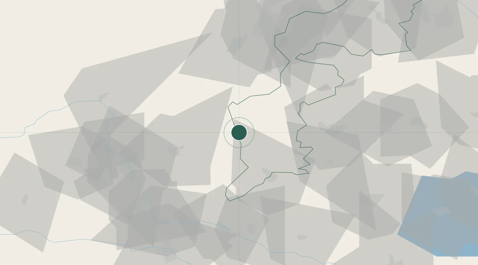
Location
Nearby Logistics Neighbours
Cities
- 1Ebersdorf11 km
- 2Riedlingsdorf14 km
- 3Pinkafeld15 km
- 4Fürstenfeld20 km
- 5Kohfidisch22 km
Ports
- 1Bakar246 km
- 2Rijeka Luka246 km
- 3Trieste251 km
- 4Monfalcone252 km
- 5Omisalj253 km
Airports
- 1Graz Airport56 km
- 2Wiener Neustadt West Airport68 km
- 3Wiener Neustadt East Airport69 km
- 4Maribor Edvard Rusjan Airport89 km
- 5Hinterstoisser Air Base101 km
Trade Zones
- 1Sjever Free Zone107 km
- 2Krapina-Zagorje Free Zone121 km
- 3PJ Free Zone Zagreb160 km
- 4Veselí nad Moravou Industrial Zone214 km
- 5Černovická Terasa Industrial Zone220 km
DatabookThe Record of Consolidated Knowledge
Austria beyond logistics?