Transport Functions
Road
Multimodal
Hub Profile
Place type
District seat
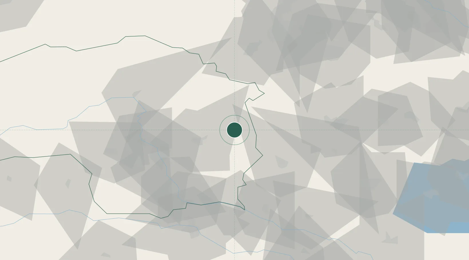
Region
Styria
Population
825
Time zone
Europe/Vienna
Elevation
308 m
Location
Nearby Logistics Neighbours
Cities
- 1Markt Allhau11 km
- 2Fürstenfeld20 km
- 3Riedlingsdorf22 km
- 4Pinkafeld22 km
- 5Sankt Margarethen an der Raab23 km
Ports
- 1Bakar238 km
- 2Rijeka Luka238 km
- 3Trieste241 km
- 4Monfalcone242 km
- 5Muggia244 km
Airports
- 1Graz Airport45 km
- 2Wiener Neustadt West Airport74 km
- 3Wiener Neustadt East Airport75 km
- 4Maribor Edvard Rusjan Airport83 km
- 5Hinterstoisser Air Base91 km
Trade Zones
- 1Sjever Free Zone105 km
- 2Krapina-Zagorje Free Zone117 km
- 3PJ Free Zone Zagreb156 km
- 4Veselí nad Moravou Industrial Zone222 km
- 5Černovická Terasa Industrial Zone226 km
DatabookThe Record of Consolidated Knowledge
Austria beyond logistics?