Transport Functions
Rail
Road
Multimodal
Hub Profile
Region
6
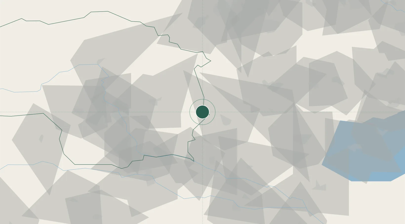
Location
Nearby Logistics Neighbours
Cities
- 1Oberlamm8 km
- 2Fehring14 km
- 3Jennersdorf14 km
- 4Feldbach19 km
- 5Ebersdorf20 km
Ports
- 1Bakar228 km
- 2Rijeka Luka229 km
- 3Omisalj236 km
- 4Trieste237 km
- 5Monfalcone240 km
Airports
- 1Graz Airport49 km
- 2Maribor Edvard Rusjan Airport70 km
- 3Wiener Neustadt West Airport88 km
- 4Wiener Neustadt East Airport89 km
- 5Hévíz–Balaton Airport91 km
Trade Zones
- 1Sjever Free Zone87 km
- 2Krapina-Zagorje Free Zone101 km
- 3PJ Free Zone Zagreb140 km
- 4Free Zone Kukuljanovo226 km
- 5Veselí nad Moravou Industrial Zone233 km
DatabookThe Record of Consolidated Knowledge
Austria beyond logistics?