Transport Functions
Multimodal
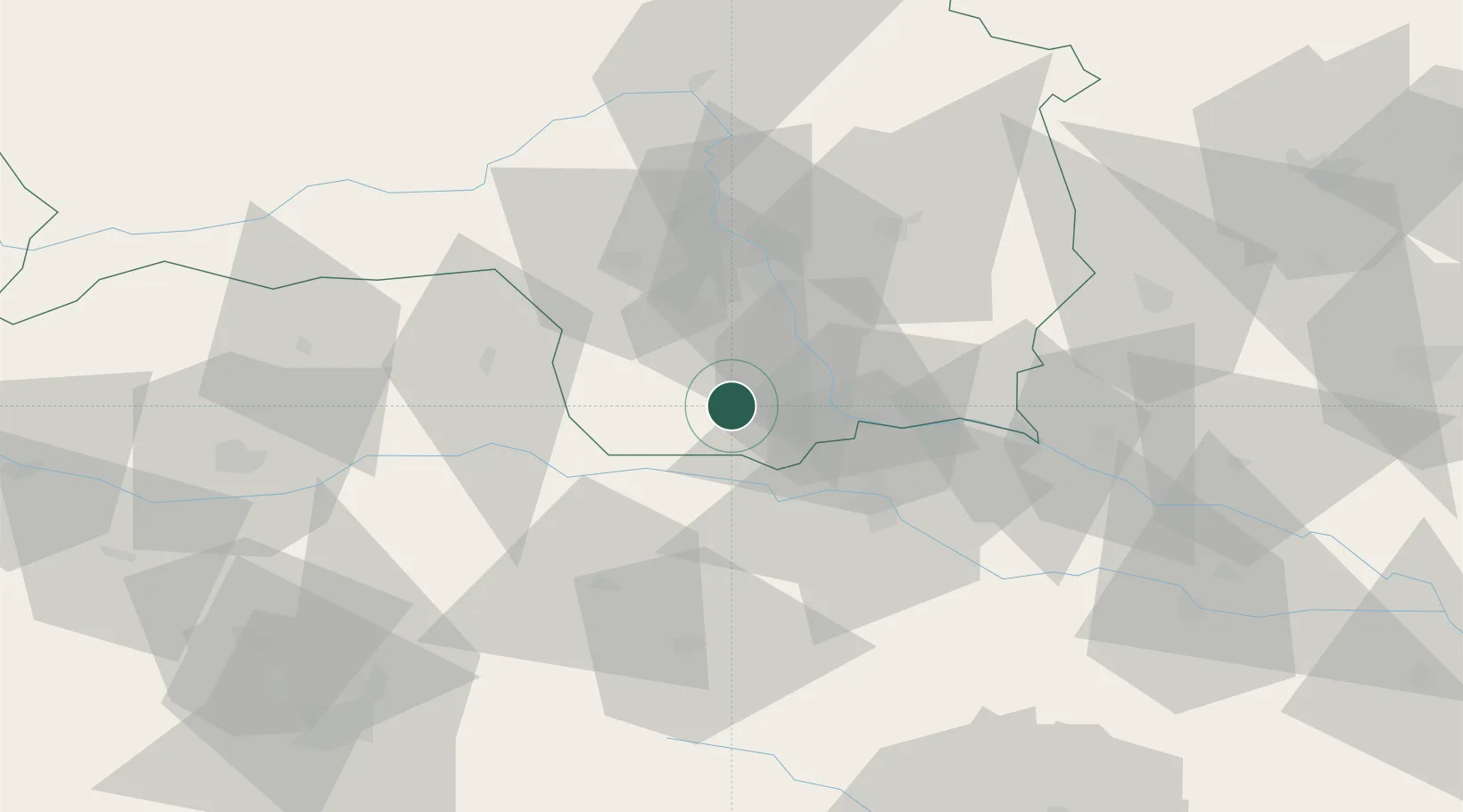
Hub Profile
Region
6
Location
Nearby Logistics Neighbours
Cities
- 1Pistorf2 km
- 2Gross Sankt Florian8 km
- 3Tillmitsch9 km
- 4Frauental an der Lassnitz12 km
- 5Leutschach12 km
Ports
- 1Rijeka Luka173 km
- 2Bakar174 km
- 3Trieste175 km
- 4Monfalcone176 km
- 5Muggia178 km
Airports
- 1Graz Airport27 km
- 2Maribor Edvard Rusjan Airport39 km
- 3Hinterstoisser Air Base69 km
- 4Klagenfurt Airport79 km
- 5Ljubljana Jože Pučnik Airport91 km
Trade Zones
- 1Krapina-Zagorje Free Zone77 km
- 2Sjever Free Zone90 km
- 3PJ Free Zone Zagreb113 km
- 4Free Zone Kukuljanovo171 km
- 5Free Port of Trieste175 km
DatabookThe Record of Consolidated Knowledge
Austria beyond logistics?