Transport Functions
Rail
Road
Multimodal
Hub Profile
Place type
District seat
Region
Lower Austria
Population
3,064
Time zone
Europe/Vienna
Elevation
226 m
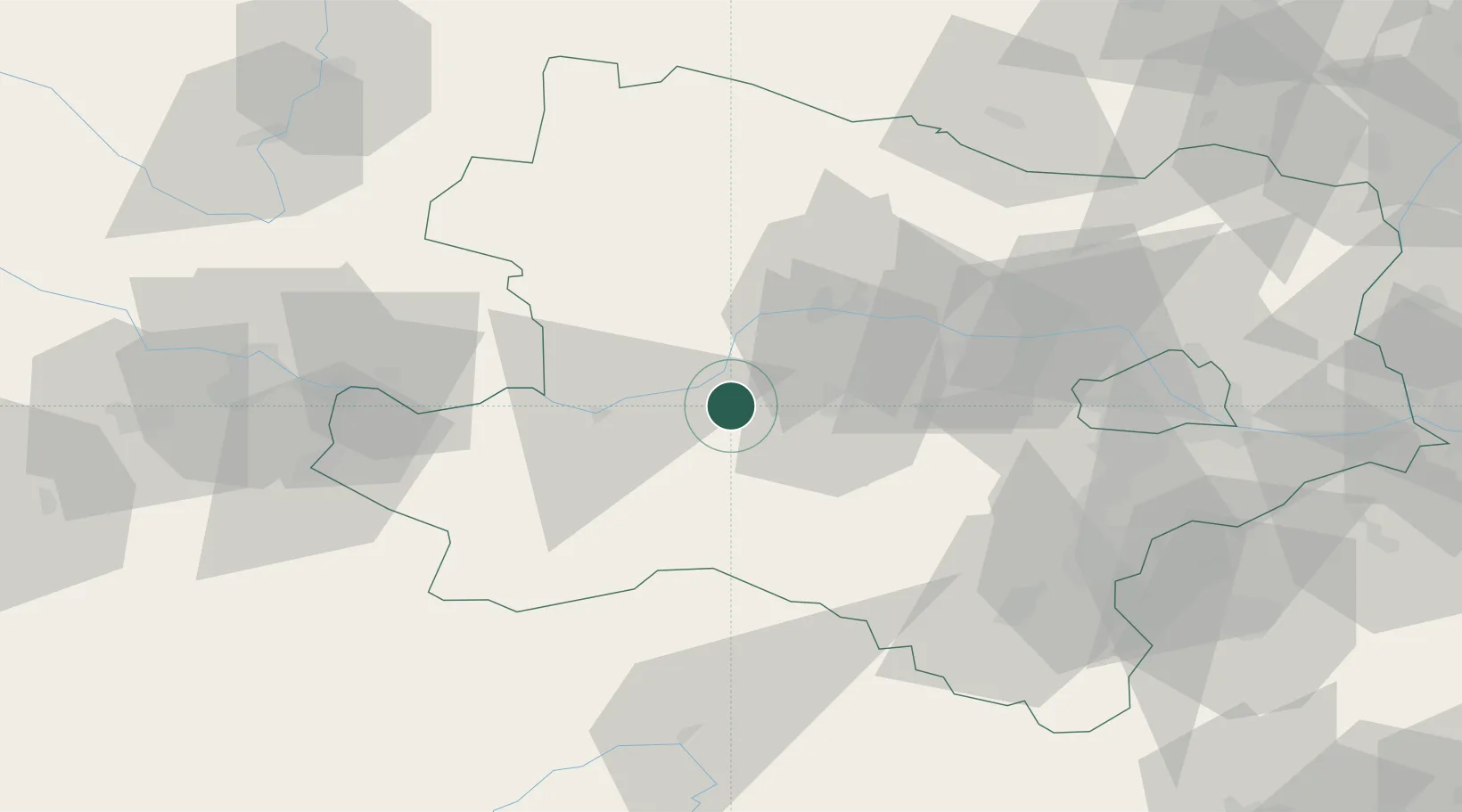
Location
Nearby Logistics Neighbours
Cities
- 1Emmersdorf an der Donau6 km
- 2Prinzersdorf9 km
- 3Sankt Leonhard am Forst11 km
- 4Kleinpöchlarn14 km
- 5Weinburg14 km
Ports
- 1Monfalcone303 km
- 2Trieste310 km
- 3Muggia315 km
- 4Nogaro320 km
- 5Koper321 km
Airports
Trade Zones
DatabookThe Record of Consolidated Knowledge
Austria beyond logistics?