UN/LOCODE hub · Austria
ATEMM

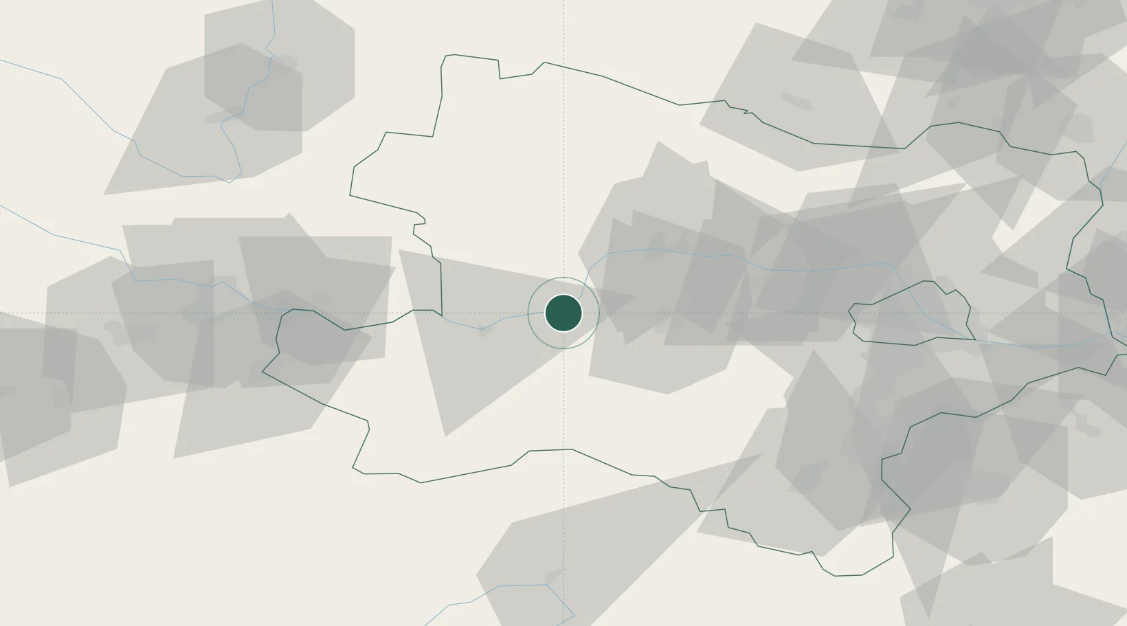
Emmersdorf an der Donau

48.2333°, 15.3333°
720
Population
2
Transport functions

Transport Functions

Rail
Road
UN/LOCODE

Hub Profile

Place type
District seat
GeoNames
Region
Lower Austria
GeoNames
Population
720
GeoNames
Time zone
Europe/Vienna
GeoNames
Elevation
211 m
GeoNames

Location

Location of ATEMM
Natural Earth 10m (public domain) · Lower Austria · ATEMM · 48.23, 15.33GoogleOSMYandex

Nearby Logistics Neighbours

Cities
  1. 1Loosdorf6 km
  2. 2Kleinpöchlarn9 km
  3. 3Sankt Leonhard am Forst12 km
  4. 4Krummnussbaum13 km
  5. 5Granz14 km
Nearest neighbours — logibook spatial index (haversine) over the source coordinates
Ports
  1. 1Monfalcone304 km
  2. 2Trieste311 km
  3. 3Muggia316 km
  4. 4Nogaro320 km
  5. 5Grado322 km
Nearest neighbours — logibook spatial index (haversine) over the source coordinates
Airports
  1. 1Wiener Neustadt West Airport79 km
  2. 2Wiener Neustadt East Airport81 km
  3. 3Linz-Hörsching Airport85 km
  4. 4Vienna International Airport93 km
  5. 5České Budějovice South Bohemian Airport104 km
Nearest neighbours — logibook spatial index (haversine) over the source coordinates
Trade Zones
  1. 1Černovická Terasa Industrial Zone143 km
  2. 2Světlá nad Sázavou Municipal Industrial Zone160 km
  3. 3Veselí nad Moravou Industrial Zone171 km
  4. 4Industrial Zone Kutna Hora190 km
  5. 5Freeport of Deggendorf192 km
Nearest neighbours — logibook spatial index (haversine) over the source coordinates
DatabookThe Record of Consolidated Knowledge
Austria beyond logistics?
Browse databook

All Sources

LocationsUN/LOCODE
UN/LOCODE — free
LocationsGeoNames
CC BY 4.0
Portsthe NGA World Port Index
Public domain (US gov)
AirportsOurAirports
Public domain
Trade Zonesthe World Bank SEZ database
CC BY 4.0
Trade ZonesOpen Zone Map
CC BY
← Austria locations