UN/LOCODE hub · Austria
ATKPO

Kleinpöchlarn

48.2167°, 15.2167°
2
Transport functions

Transport Functions

Rail
Road
UN/LOCODE

Hub Profile

Region
3
GeoNames

Location

Location of ATKPO
Natural Earth 10m (public domain) · 3 · ATKPO · 48.22, 15.22GoogleOSMYandex

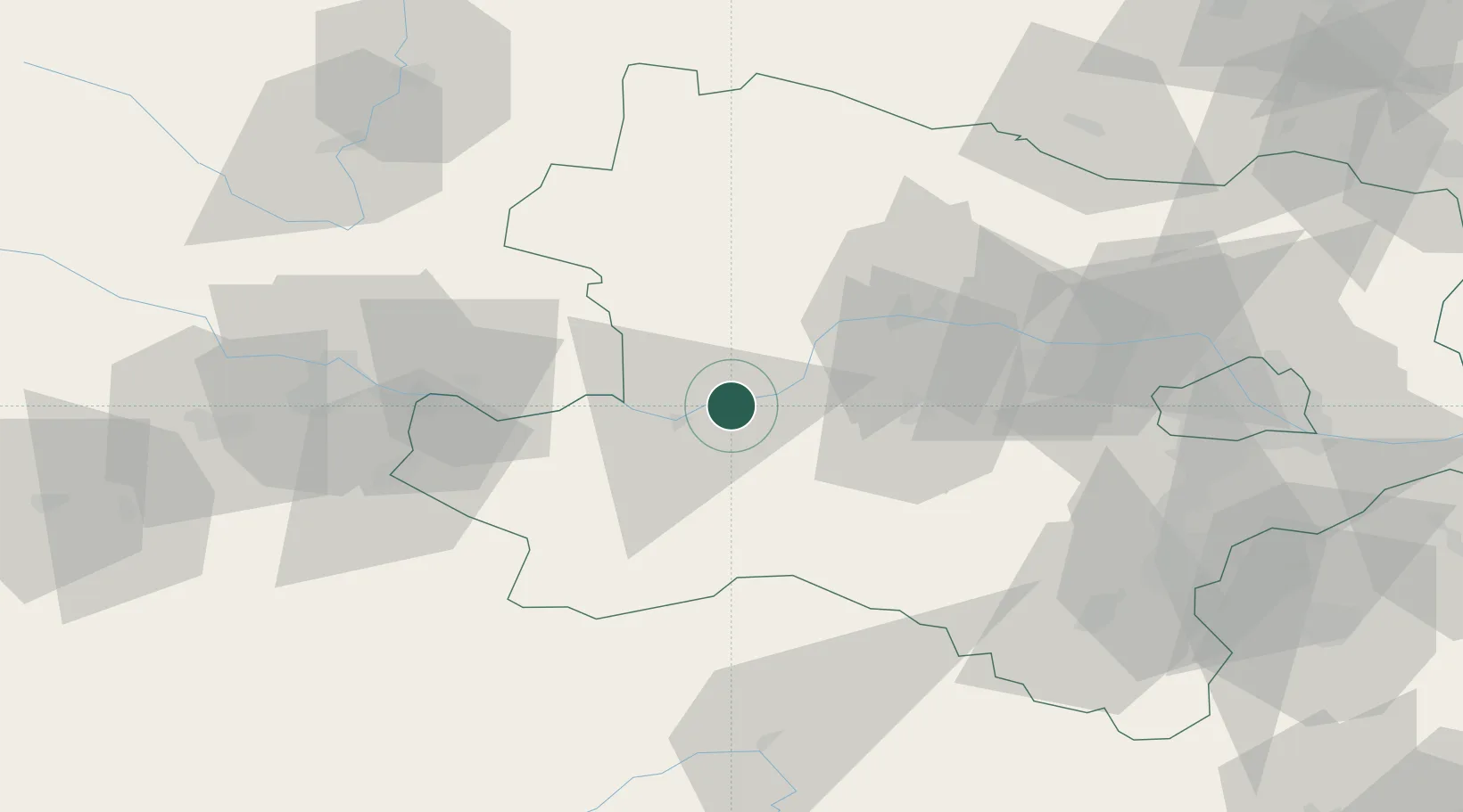
Nearby Logistics Neighbours

Cities
  1. 1Krummnussbaum4 km
  2. 2Granz5 km
  3. 3Marbach an der Donau5 km
  4. 4Münichreith8 km
  5. 5Emmersdorf an der Donau9 km
Nearest neighbours — logibook spatial index (haversine) over the source coordinates
Ports
  1. 1Monfalcone299 km
  2. 2Trieste306 km
  3. 3Muggia311 km
  4. 4Nogaro314 km
  5. 5Grado316 km
Nearest neighbours — logibook spatial index (haversine) over the source coordinates
Airports
  1. 1Linz-Hörsching Airport76 km
  2. 2Wiener Neustadt West Airport86 km
  3. 3Wiener Neustadt East Airport88 km
  4. 4České Budějovice South Bohemian Airport100 km
  5. 5Vienna International Airport101 km
Nearest neighbours — logibook spatial index (haversine) over the source coordinates
Trade Zones
  1. 1Černovická Terasa Industrial Zone151 km
  2. 2Světlá nad Sázavou Municipal Industrial Zone162 km
  3. 3Veselí nad Moravou Industrial Zone179 km
  4. 4Freeport of Deggendorf184 km
  5. 5Industrial Zone Kutna Hora191 km
Nearest neighbours — logibook spatial index (haversine) over the source coordinates
DatabookThe Record of Consolidated Knowledge
Austria beyond logistics?
Browse databook

All Sources

LocationsUN/LOCODE
UN/LOCODE — free
Portsthe NGA World Port Index
Public domain (US gov)
AirportsOurAirports
Public domain
Trade Zonesthe World Bank SEZ database
CC BY 4.0
Trade ZonesOpen Zone Map
CC BY
← Austria locations