Transport Functions
Rail
Road
Hub Profile
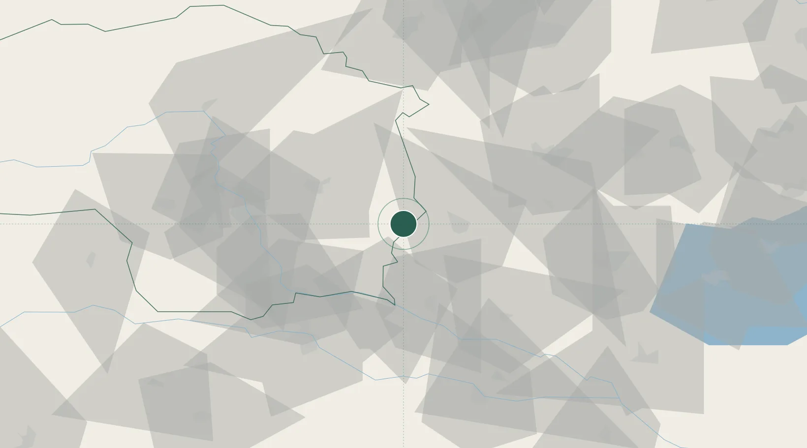
Place type
Populated place
Region
Styria
Population
250
Time zone
Europe/Vienna
Elevation
322 m
Location
Nearby Logistics Neighbours
Cities
- 1Fehring7 km
- 2Jennersdorf7 km
- 3Fürstenfeld8 km
- 4Feldbach13 km
- 5Rogasovci20 km
Ports
- 1Bakar221 km
- 2Rijeka Luka222 km
- 3Omisalj228 km
- 4Trieste231 km
- 5Muggia233 km
Airports
- 1Graz Airport46 km
- 2Maribor Edvard Rusjan Airport63 km
- 3Hévíz–Balaton Airport91 km
- 4Wiener Neustadt West Airport96 km
- 5Wiener Neustadt East Airport97 km
Trade Zones
- 1Sjever Free Zone80 km
- 2Krapina-Zagorje Free Zone94 km
- 3PJ Free Zone Zagreb132 km
- 4Free Zone Kukuljanovo218 km
- 5Veselí nad Moravou Industrial Zone241 km
DatabookThe Record of Consolidated Knowledge
Austria beyond logistics?