UN/LOCODE hub · Austria
ATSRB

Strass im Strassertale

48.4667°, 15.7333°
2
Transport functions

Transport Functions

Road
Multimodal
UN/LOCODE

Hub Profile

Region
3
GeoNames

Location

Location of ATSRB
Natural Earth 10m (public domain) · 3 · ATSRB · 48.47, 15.73GoogleOSMYandex

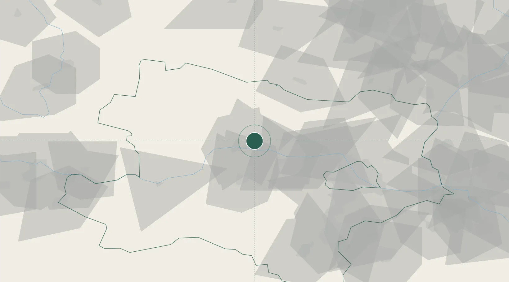
Nearby Logistics Neighbours

Cities
  1. 1Hadersdorf2 km
  2. 2Hadersdorf-Kammern2 km
  3. 3Engabrunn2 km
  4. 4Etsdorf am Kamp4 km
  5. 5Zobing4 km
Nearest neighbours — logibook spatial index (haversine) over the source coordinates
Ports
  1. 1Monfalcone341 km
  2. 2Trieste347 km
  3. 3Muggia352 km
  4. 4Koper358 km
  5. 5Nogaro358 km
Nearest neighbours — logibook spatial index (haversine) over the source coordinates
Airports
  1. 1Vienna International Airport74 km
  2. 2Wiener Neustadt West Airport79 km
  3. 3Wiener Neustadt East Airport80 km
  4. 4Náměšť Air Base83 km
  5. 5Malacky/Kuchyňa Air Base102 km
Nearest neighbours — logibook spatial index (haversine) over the source coordinates
Trade Zones
  1. 1Černovická Terasa Industrial Zone104 km
  2. 2Veselí nad Moravou Industrial Zone132 km
  3. 3Světlá nad Sázavou Municipal Industrial Zone136 km
  4. 4Holešov Industrial Zone163 km
  5. 5Industrial Zone Kutna Hora167 km
Nearest neighbours — logibook spatial index (haversine) over the source coordinates
DatabookThe Record of Consolidated Knowledge
Austria beyond logistics?
Browse databook

All Sources

LocationsUN/LOCODE
UN/LOCODE — free
Portsthe NGA World Port Index
Public domain (US gov)
AirportsOurAirports
Public domain
Trade Zonesthe World Bank SEZ database
CC BY 4.0
Trade ZonesOpen Zone Map
CC BY
← Austria locations