Transport Functions
Port
Rail
Road
Hub Profile
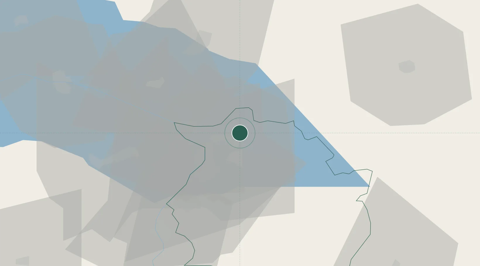
Place type
Regional capital
Region
Vorarlberg
Population
29,806
Time zone
Europe/Vienna
Elevation
405 m
Location
Nearby Logistics Neighbours
Cities
- 1Reuthe4 km
- 2Lindau8 km
- 3Fussach9 km
- 4Hergensweiler11 km
- 5Wasserburg am Bodensee13 km
Ports
- 1Porto Di Lido-Venezia309 km
- 2Porto Di Chioggia318 km
- 3Nogaro324 km
- 4Grado336 km
- 5Monfalcone346 km
Airports
Trade Zones
- 1Livigno Free Trade Zone111 km
- 2ZFU Mulhouse184 km
- 3ZFU Neuhof189 km
- 4Magazzini Generali Con Chiasso194 km
- 5ZFU Hautepierre196 km
DatabookThe Record of Consolidated Knowledge
Austria beyond logistics?