Transport Functions
Port
Hub Profile
Place type
Populated place
Region
Lower Austria
Population
522
Time zone
Europe/Vienna
Elevation
227 m
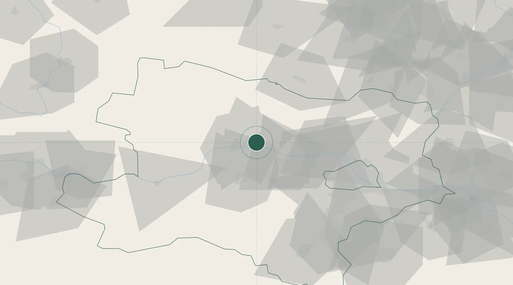
Location
Nearby Logistics Neighbours
Cities
- 1Strass im Strassertale2 km
- 2Etsdorf am Kamp2 km
- 3Hadersdorf3 km
- 4Hadersdorf-Kammern3 km
- 5Zobing6 km
Ports
- 1Monfalcone340 km
- 2Trieste346 km
- 3Muggia351 km
- 4Koper357 km
- 5Nogaro357 km
Airports
- 1Vienna International Airport72 km
- 2Wiener Neustadt West Airport77 km
- 3Wiener Neustadt East Airport77 km
- 4Náměšť Air Base84 km
- 5Malacky/Kuchyňa Air Base101 km
Trade Zones
DatabookThe Record of Consolidated Knowledge
Austria beyond logistics?