Transport Functions
Multimodal
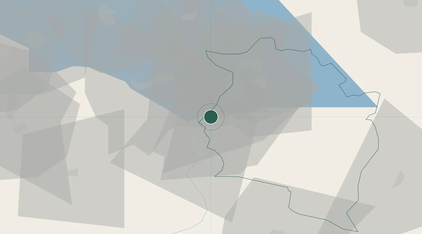
Hub Profile
Place type
District seat
Region
Vorarlberg
Population
2,245
Time zone
Europe/Vienna
Elevation
426 m
Location
Nearby Logistics Neighbours
Ports
- 1Porto Di Lido-Venezia302 km
- 2Porto Di Chioggia310 km
- 3Nogaro323 km
- 4Genova325 km
- 5Chiavari - Lavagna332 km
Airports
- 1Sankt Gallen Altenrhein Airport22 km
- 2Bodensee Airport Friedrichshafen43 km
- 3Dübendorf Air Base70 km
- 4Zürich Airport79 km
- 5Engadin Airport87 km
Trade Zones
- 1Livigno Free Trade Zone93 km
- 2Magazzini Generali Con Chiasso167 km
- 3ZFU Mulhouse175 km
- 4ZFU Neuhof194 km
- 5ZFU Hautepierre202 km
DatabookThe Record of Consolidated Knowledge
Austria beyond logistics?